On Lewis and Clark Highway (State Highway 14) 0.8 miles west of Wishram Road, on the left when traveling west.
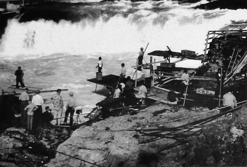
American Indians have harvested salmon from the Columbia River for over 10,000 years. Celilo Falls, a sacred location, now lies beneath the waters of the Columbia, directly east of the railroad bridge you see below. The loss of this fishery at . . . — — Map (db m128967) HM
On Lewis and Clark Highway (State Highway 14) 0.8 miles west of Wishram Road, on the left when traveling west.
Since time immemorial, the area surrounding Celilo Falls was the hub of a vast American Indian trade network that stretched from California to Alaska, and from the Missouri Plains to the Pacific Ocean. Native people established this trading center, . . . — — Map (db m128968) HM
On Lewis and Clark Highway (State Highway 14) 0.8 miles west of Wishram Road, on the left when traveling west.
The Lewis and Clark Expedition reached Celilo Falls, its first major obstacle on the Columbia River, on October 22,1805. William Clark named this imposing stretch of the river “Great Falls of the Columbia.” For millenia, tribes . . . — — Map (db m128969) HM