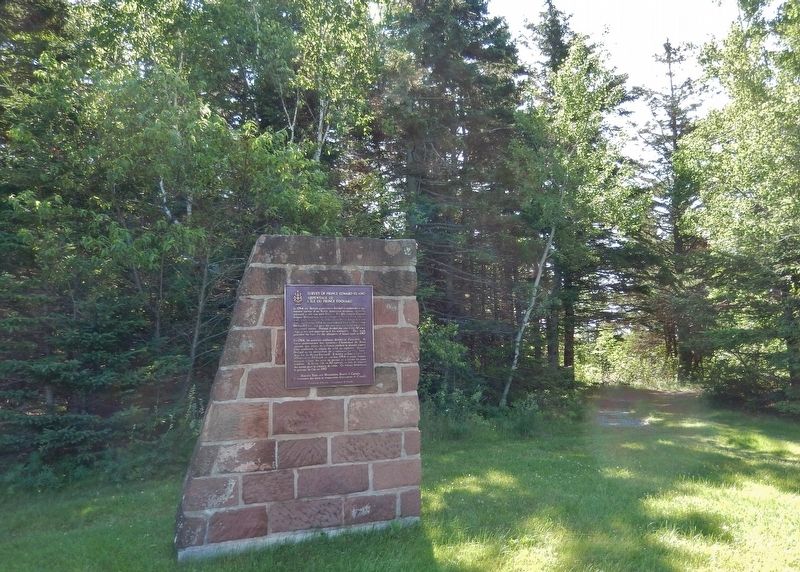
On Prince Edward Island Route 19 just south of Rogers Passage Lane, on the left when traveling south.
English:
In 1764 the British government decided to undertake a systematic survey of its North American territory, recently enlarged in the war with France. For this purpose Captain Samuel Holland was put in charge of the northern . . . — — Map (db m139436) HM
Near Hache Gallant Drive 1.2 kilometers east of Route 19, on the left when traveling east.
English: Working out of Fort Amherst between 1764 and 1765, Captain Samuel Holland, an engineer, directed a small team to produce an accurate survey of every inch of St. John's Island. It was the first phase of a major survey of . . . — — Map (db m151802) HM