3 entries match your criteria.
Related Historical Markers
Yuma East Wetlands
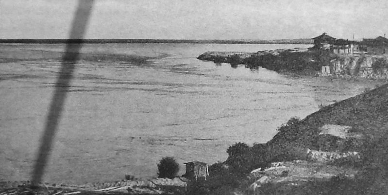
Marker detail: View from Indian Hill before Dams, 1905
SHOWN IN SOURCE-SPECIFIED ORDER
| Near Prison Hill Road, 0.5 miles north of Harold C. Giss Parkway. |
| | The Natural Setting The river supported pristine cottonwood / willow gallery forests, mesquite bosques, wetlands, inter-tidal salt flats, and lakes dependent on annual floods for existence. The area yielded a rich harvest of seasonal wild . . . — — Map (db m158377) HM |
| Near Prison Hill Road, 0.5 miles north of Harold C. Giss Parkway. |
| | A Positive Impact Starting in 1905, dams were constructed along the Colorado River that brought positive change to the Southwest. Dams and canals brought a safe and secure source of water and power and enhanced the ability of people to live in . . . — — Map (db m158380) HM |
| Near Prison Hill Road, 0.5 miles north of Harold C. Giss Parkway. |
| | Restoration in Progress The Yuma East Wetlands (YEW) is an innovative restoration project pioneered by the Quechan Indian Tribe and the City of Yuma. The 1,418 acres of the YEW are comprised of native riparian wetland, and aquatic habitats . . . — — Map (db m158390) HM |
Jun. 17, 2024