Yuma in Yuma County, Arizona — The American Mountains (Southwest)
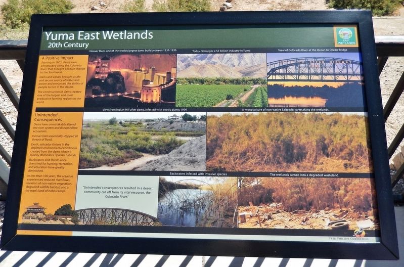
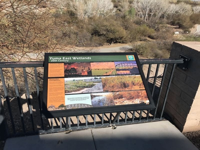
Yuma East Wetlands
20th Century
A Positive Impact
Starting in 1905, dams were constructed along the Colorado River that brought positive change to the Southwest. Dams and canals brought a safe and secure source of water and power and enhanced the ability of people to live in the desert. The construction of dams created one of the largest and most productive farming regions in the world.
Unintended Consequences
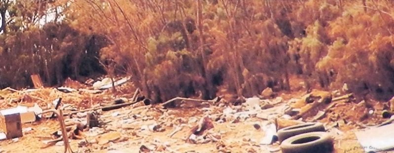
Dams have unmistakably altered the river system and disrupted the ecosystem. Hoover Dam essentially stopped all threats of flood. Exotic saltcedar thrives in the depleted environmental conditions created from the dams where it quickly dominates riparian habitats. Backwaters and forests once cherished for hunting, recreation, and education have greatly diminished. In less than 100 years, the area has experienced reduced river flows, invasion of non-native vegetation, degraded wildlife habitat, and a no-man's land of hobo camps.
”Unintended consequences resulted in a desert community cut off from its vital resource, the Colorado River.”
[photo captions]
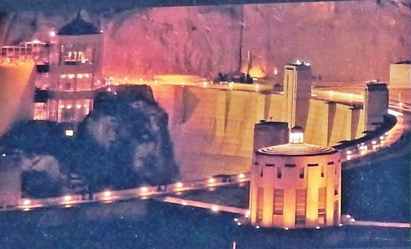
• Hoover Dam, one of the world’s largest dams, built between 1931-1936
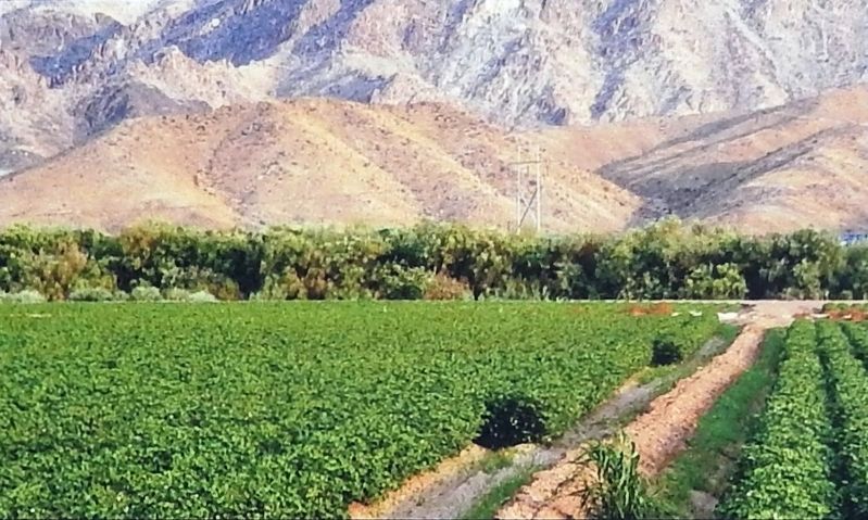
• Today farming is a $3 billion industry in Yuma
• View of Colorado River at the Ocean to Ocean Bridge
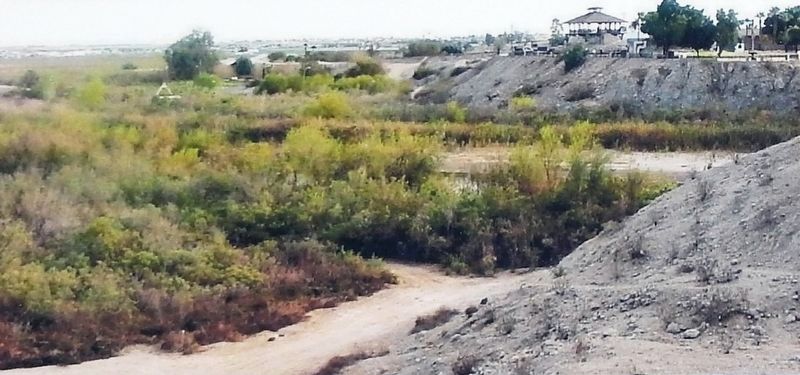
• View from Indian Hill after dams, infested with exotic plants, 1999
• A monoculture of non-native Saltcedar overtaking the wetlands
• Backwaters infested with invasive species
• The wetlands turned into a degraded wasteland
Topics. This historical marker is listed in these topic lists: Agriculture • Environment • Industry & Commerce • Waterways & Vessels. A significant historical year for this entry is 1905.
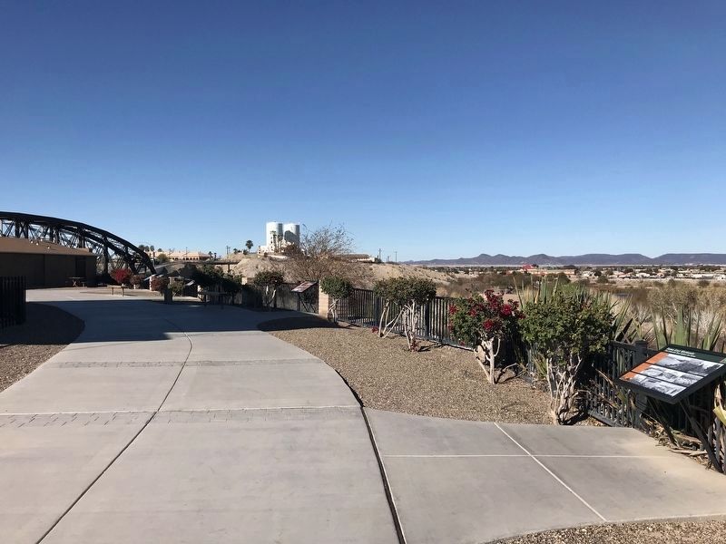
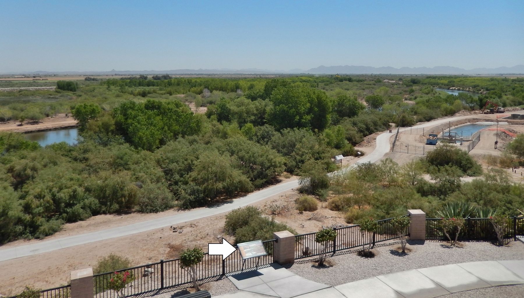
Location. 32° 43.656′ N, 114° 36.871′ W. Marker is in Yuma, Arizona, in Yuma County. Marker can be reached from Prison Hill Road, half a mile north of Harold C. Giss Parkway. Marker is located in Yuma Territorial Prison State Historic Park, overlooking the Colorado River. Touch for map. Marker is at or near this postal address: 220 Prison Hill Road, Yuma AZ 85364, United States of America. Touch for directions.
Other nearby markers. At least 8 other markers are within walking distance of this marker. Yuma East Wetlands Today (a few steps from this marker); a different marker also named Yuma East Wetlands (a few steps from this marker); Crossing Into History (a few steps from this marker); Drinking Water Life in the Desert (within shouting distance of this marker); View of the Prison from Across the River (within shouting distance of this marker); Juan Bautista de Anza National Historic Trail (within shouting distance of this marker); The All-important Colorado River Crossing (within shouting distance of this marker); "Indian Hill" (within shouting distance of this marker). Touch for a list and map of all markers in Yuma.
Related markers. Click here for a list of markers that are related to this marker. Yuma East Wetlands
Also see . . . Yuma Crossing National Heritage Area. Dams brought hydropower and a safe and secure source of water for the Southwest. However, controlled and decreasing levels of river flows meant that native cottonwood and willow forest did not regenerate and were replaced by dense monotypic salt cedar. This invasive non-vegetation cut the Yuma community off from the river, which spawned hobo camps and trash dumps. (Submitted on October 22, 2020, by Cosmos Mariner of Cape Canaveral, Florida.)
Credits. This page was last revised on February 11, 2022. It was originally submitted on October 21, 2020, by Cosmos Mariner of Cape Canaveral, Florida. This page has been viewed 154 times since then and 11 times this year. Photos: 1, 2, 3, 4, 5. submitted on October 21, 2020, by Cosmos Mariner of Cape Canaveral, Florida. 6, 7. submitted on February 10, 2022, by Adam Margolis of Mission Viejo, California. 8. submitted on October 21, 2020, by Cosmos Mariner of Cape Canaveral, Florida.
