Yuma in Yuma County, Arizona — The American Mountains (Southwest)
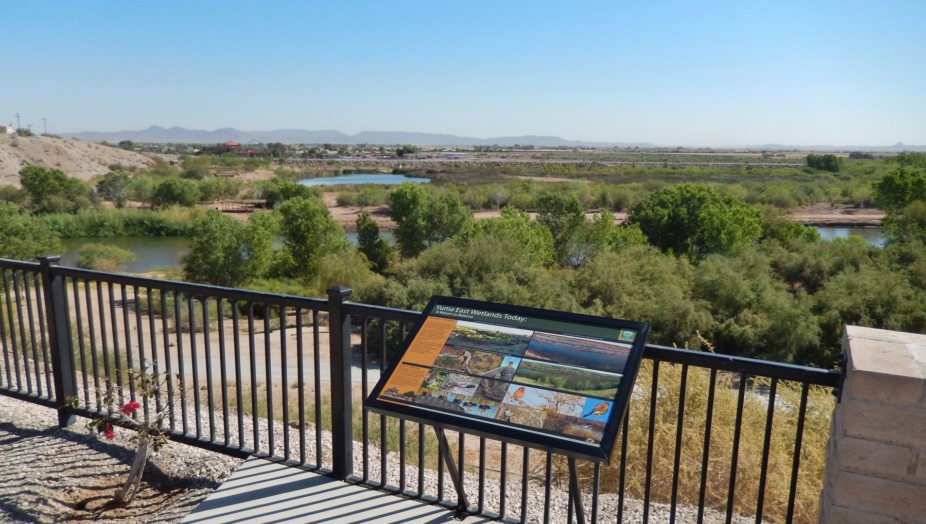
Yuma East Wetlands Today
A Return to Balance
Restoration in Progress
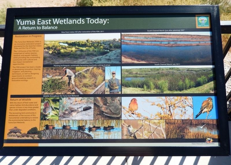
The Yuma East Wetlands (YEW) is an innovative restoration project pioneered by the Quechan Indian Tribe and the City of Yuma. The 1,418 acres of the YEW are comprised of native riparian wetland, and aquatic habitats while providing the surrounding community with cultural and low-impact recreational opportunities. The YEW project has been a leader in developing innovative clearing, irrigation and planting techniques, as well as designing experiments to conduct ground-breaking research in restoration ecology.
Return of Wildlife
With the return of fresh water and native habitat, bird abundance and species richness is two times greater than under degraded conditions. The recovering bird community is emblematic of the success of this monumental undertaking to restore the environmental balance to the Yuma East Wetlands.
[photo captions]
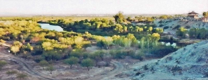
• View from Indian Hill after restoration of the YEW, 2011
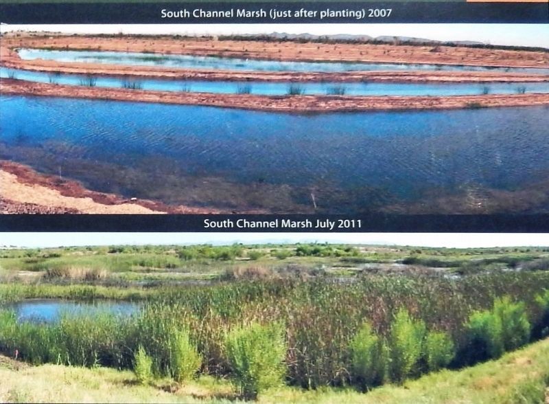
• South Channel Marsh (just after planting) 2007
• Planting techniques: sustainably harvesting local pole cuttings & plugs
• South Channel Marsh July 2011
• Wildlife throughout the Yuma East Wetlands
Topics. This historical marker is listed in these topic lists: Animals • Environment • Parks & Recreational Areas • Waterways & Vessels.
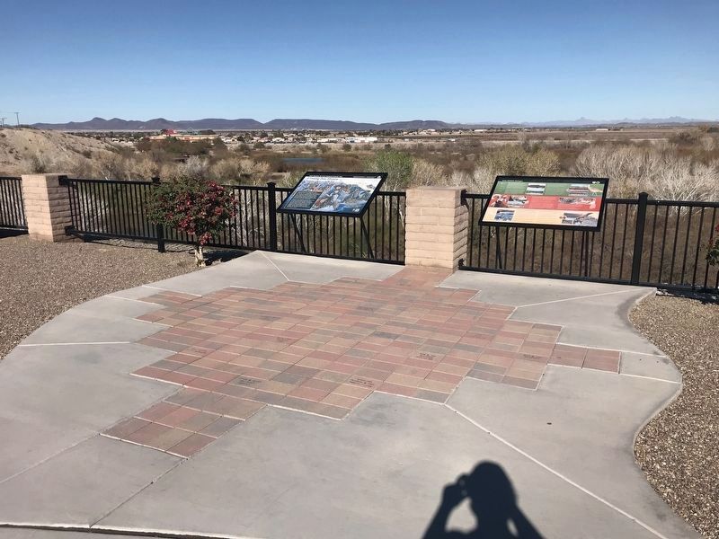
Location. 32° 43.662′ N, 114° 36.876′ W. Marker is in Yuma, Arizona, in Yuma County. Marker can be reached from Prison Hill Road, half a mile north of Harold C. Giss Parkway. Marker is located in Yuma Territorial Prison State Historic Park, overlooking the Colorado River. Touch for map. Marker is at or near this postal address: 220 Prison Hill Road, Yuma AZ 85364, United States of America. Touch for directions.
Other nearby markers. At least 8 other markers are within walking distance of this marker. Crossing Into History (a few steps from this marker); Yuma East Wetlands (a few steps from this marker); a different marker also named Yuma East Wetlands (within shouting distance of this marker); Drinking Water Life in the Desert (within shouting distance of this marker); View of the Prison from Across the River (within shouting distance of this marker); Juan Bautista de Anza National Historic Trail (within shouting distance of this marker); The All-important Colorado River Crossing (within shouting distance of this marker); "Indian Hill" (within shouting distance of this marker). Touch for a list and map of all markers in Yuma.
Related markers. Click here for a list of markers that are related to this marker. Yuma East Wetlands
Also see . . . Yuma Crossing National Heritage Area. Since 2001, a unique partnership of the Quechan Indian Tribe, City of Yuma, Arizona Game and Fish, Bureau of Reclamation, and Bureau of Land Management, managed by the Heritage Area, led to the restoration of nearly 400 acres of wetlands. Nearly 200,000 trees and native grasses have been planted. (Submitted on October 22, 2020, by Cosmos Mariner of Cape Canaveral, Florida.)
Credits. This page was last revised on February 14, 2022. It was originally submitted on October 21, 2020, by Cosmos Mariner of Cape Canaveral, Florida. This page has been viewed 213 times since then and 23 times this year. Photos: 1, 2, 3. submitted on October 22, 2020, by Cosmos Mariner of Cape Canaveral, Florida. 4. submitted on February 10, 2022, by Adam Margolis of Mission Viejo, California. 5. submitted on October 22, 2020, by Cosmos Mariner of Cape Canaveral, Florida.
