Yuma in Yuma County, Arizona — The American Mountains (Southwest)
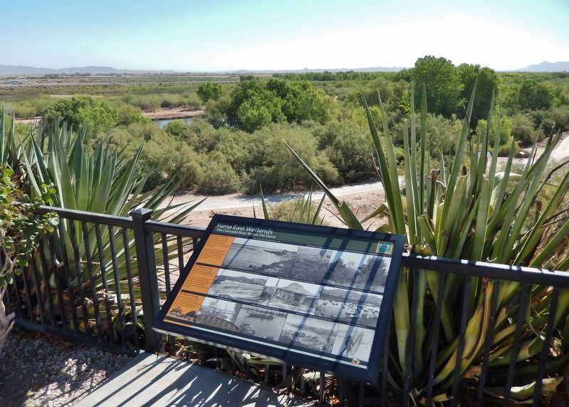
Yuma East Wetlands
The Colorado River Before the Dams
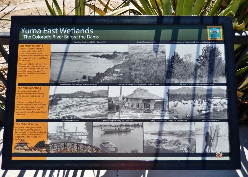
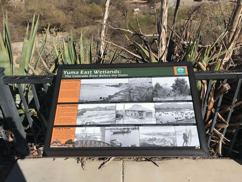
The Natural Setting
The river supported pristine cottonwood / willow gallery forests, mesquite bosques, wetlands, inter-tidal salt flats, and lakes dependent on annual floods for existence.
The area yielded a rich harvest of seasonal wild plant and animal foods and could be cultivated with ease. The Lower Colorado River once had the ability to naturally regenerate.
The untamed Colorado River experienced frequent flooding with channels stretching 24 km across.
Wild, uncontrollable flooding demolished homes and took lives. The rising flood waters brought continued devastation. The community was left to rebuild and overcome.
Originally, the highly variable flowing river, served both as a barrier and a conduit for trade and travel. Various Native American tribes settled and farmed the fertile lands.
[photo captions]
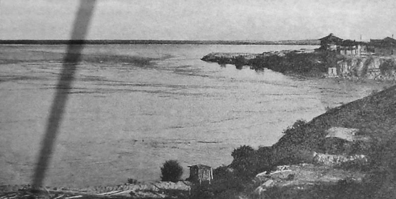
• View from Indian Hill before Dams, 1905
• Native Alkali sacaton flats
• An abundance of cottonwood, willow, and mesquite trees
• Violent floods threaten the existence of cities
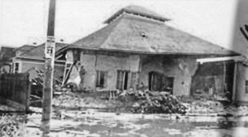
• Damage caused by flooding of the Colorado River
• The effects of flooding in residential areas
• Steamboat transport
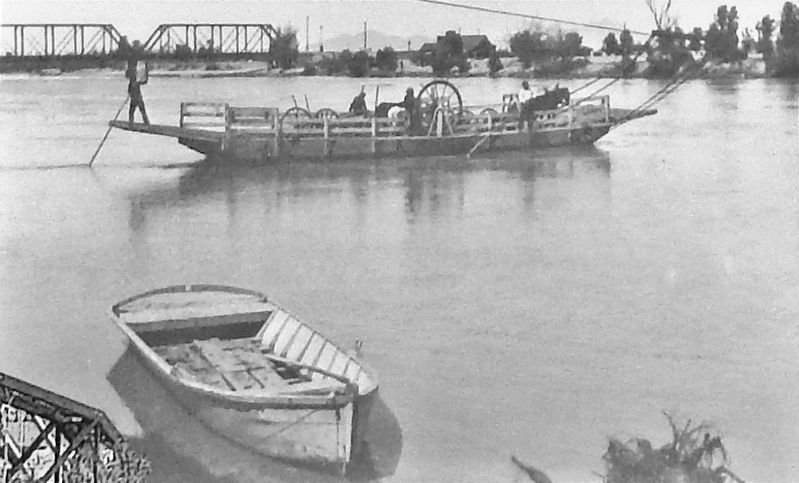
• Ferry transport along the Colorado
• Early East Wetlands camps set up for trade
• Quechan Fisherman
Topics. This historical marker is listed in these topic lists: Disasters • Native Americans • Settlements & Settlers • Waterways & Vessels.
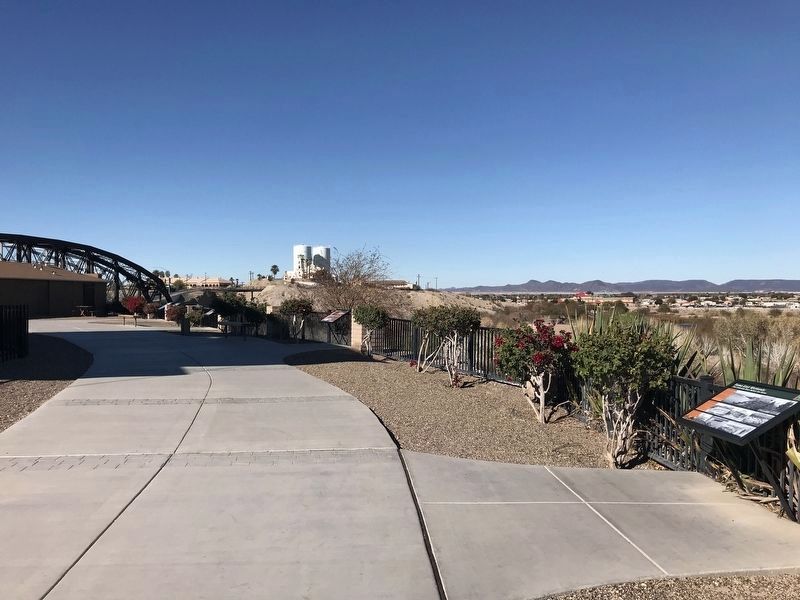
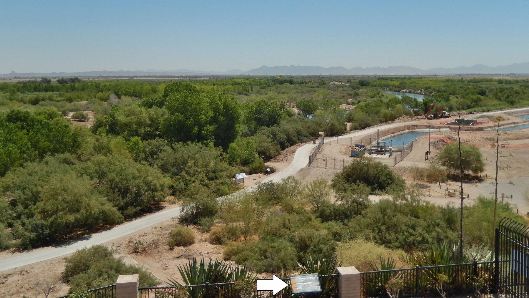
Location. 32° 43.649′ N, 114° 36.867′ W. Marker is in Yuma, Arizona, in Yuma County. Marker can be reached from Prison Hill Road, half a mile north of Harold C. Giss Parkway. Marker is located in Yuma Territorial Prison State Historic Park, overlooking the Colorado River. Touch for map. Marker is at or near this postal address: 220 Prison Hill Road, Yuma AZ 85364, United States of America. Touch for directions.
Other nearby markers. At least 8 other markers are within walking distance of this marker. A different marker also named Yuma East Wetlands (a few steps from this marker); Yuma East Wetlands Today (within shouting distance of this marker); Crossing Into History (within shouting distance of this marker); Drinking Water Life in the Desert (within shouting distance of this marker); Prison Labor (within shouting distance of this marker); Shops (within shouting distance of this marker); View of the Prison from Across the River (within shouting distance of this marker); Juan Bautista de Anza National Historic Trail (within shouting distance of this marker). Touch for a list and map of all markers in Yuma.
Related markers. Click here for a list of markers that are related to this marker. Yuma East Wetlands
Also see . . . Yuma Crossing National Heritage Area. Sitting at the narrows of the Lower Colorado River, Yuma was known as “The Gateway to the Great Southwest” and is the oldest city established on the Colorado River. The Yuma Crossing National Heritage Area encompasses seven square miles along the Lower Colorado River in Yuma, Arizona and Winterhaven, California. (Submitted on October 21, 2020, by Cosmos Mariner of Cape Canaveral, Florida.)
Credits. This page was last revised on February 11, 2022. It was originally submitted on October 21, 2020, by Cosmos Mariner of Cape Canaveral, Florida. This page has been viewed 217 times since then and 24 times this year. Photos: 1, 2, 3, 4, 5. submitted on October 21, 2020, by Cosmos Mariner of Cape Canaveral, Florida. 6, 7. submitted on February 10, 2022, by Adam Margolis of Mission Viejo, California. 8. submitted on October 21, 2020, by Cosmos Mariner of Cape Canaveral, Florida.
