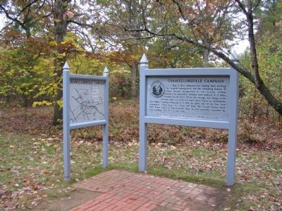
Near Plank Road (State Highway 3) at Bullock Road, on the right when traveling west.
May 2, 1863. Jackson's two leading lines, battling the tangled undergrowth and the retreating Federal XI Corps, became disorganized. In this vicinity, Jackson halted his successful advance and ordered A.P. Hill's Division to the front. While the . . . — — Map (db m295217) HM
Near Plank Road (State Highway 3) east of Bullock Road, on the right when traveling west.
When "Stonewall" Jackson reached this point at about 9 p.m. on May 2, 1863, he stood at the peak of his military career. Four hundred yards in front of you, a shaken Union army hastily built earthworks to halt the Confederate tide. One hundred . . . — — Map (db m295210) HM
On Plank Road (Virginia Route 3), on the right when traveling west. Reported permanently removed.
Near this spot around 9:15 p.m. on the night of May 2, 1863, the Confederate cause suffered disaster. As "Stonewall" Jackson and his party returned from their reconnaissance down the Mountain Road, Confederate musketry erupted south of the Plank . . . — — Map (db m295213) HM
On Plank Road (State Highway 3), on the right when traveling west.
On this Spot
fell
mortally wounded
Thomas J. Jackson
Lt. Gen. C.S.A.
May 2nd 1863
There is Jackson standing
like a
stone wall
Bee at Manassas.
Could I have directed . . . — — Map (db m295207) HM WM
On Plank Road (State Highway 3), on the right when traveling west.
The effort to erect a monument at the site of Thomas "Stonewall" Jackson's mortal wounding began in February 1887, when Fredericksburg newspaper editor Rufus Merchant founded the Stonewall Jackson Monument Association. On June 13, 1888, a crowd of . . . — — Map (db m295208) HM
On Plank Road / Germania Highway (State Highway 3) at Constitution Highway (State Highway 20), on the right when traveling west on Plank Road / Germania Highway.
Near here stood the hospital tent to which the wounded "Stonewall" Jackson was brought during the Battle of Chancellorsville. In that tent his left arm was amputated on May 3, 1863. He died seven days later at Guinea. — — Map (db m3515) HM
On Guinea Station Road, on the right when traveling east.
Union troops took this road on May 21, 1864, as they left Spotsylvania and headed toward Guinea Station. One year earlier, “Stonewall” Jackson’s ambulance had used this same road to carry the wounded Confederate general from a field hospital in . . . — — Map (db m3707) HM
Near Stonewall Jackson Road (Virginia Route 606) near Guinea Station Road ( Route 634).
We had confidence in him that knew no bounds...his loss was irreparable.
Wills Lee, Richmond Howitzers
News of Stonewall Jackson's death stunned the South. "A greater sense of loss and deeper grief never followed the death of mortal . . . — — Map (db m220057) HM