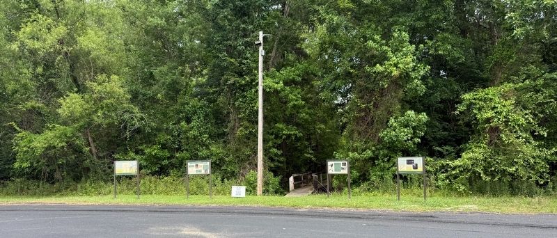
On Millstone Landing Road south of Purrysbburg Road (South Carolina Road S-27-34), on the right when traveling south.
On April 29, 1779, the battle of Purrysburg occurred in the lower Savannah River basin, approximately 35 miles from the river's mouth and less than one mile from this location.
A Patriot Hub
In 1776, Purrysburg served as a . . . — — Map (db m301315) HM
On Millstone Landing Road south of Purrysburg Road (South Carolina Road S-27-34), on the left when traveling south.
"Maroons" is the terminology often applied to enslaved African Americans who escaped their enslavement and lived in remote or isolated regions on the edge of settlements from Pennsylvania to Georgia. The remote forests and isolated islands of the . . . — — Map (db m301316) HM
On East River Street, on the right when traveling south.
Although the Savannah River provided an avenue to the sea, it also presented a barrier to overland travel and transportation. Rochester Ferry, later named Screven's Ferry, was established in 1762 and connected Savannah with a roadway in South . . . — — Map (db m19450) HM
On Purrysburg Road (State Highway S-27-34) near Honey Hill Road (State Highway S27-203), on the right when traveling south.
In 1730, the British Crown instructed S.C. Governor Robert Johnson to lay out eleven townships to populate and protect the interior of the province. Purrysburg Township, laid out in 1731, stimulated the settlement of this area; but the growth of . . . — — Map (db m6353) HM
Clementa Carlos Pinckney (1973-2015) answered the call to preach at the age of 13 here at St. John AME Church and received his first appointment to pastor at the age of 18. As a pastor, he served innumerable parishioners in many S.C. churches, . . . — — Map (db m301322) HM
On Bull Street near Macon Street, on the right when traveling south.
Sergeant William Jasper, the famed Revolutionary hero, was mortally wounded a few hundred yards northwest of this spot on October 9, 1779, in the ill-fated attack of the American and French forces on the British defenses around Savannah. The . . . — — Map (db m5455) HM
On Court Square (State Highway 28) south of Washington Street (State Highway 203), on the right when traveling north.
Abbeville's 6th courthouse - designed in beaux arts classical style by Edwards & Walter of Atlanta - dedicated in 1908 with City Hall/Opera House. (Two buildings indirectly financed by profits from Abbeville Dispensary, only one still operating . . . — — Map (db m14870) HM
On Millstone Landing Road south of Purrysburg Road (South Carolina Road S-27-34), on the left when traveling south.
Established in 1927 as a Federal Bird Refuge, Savannah NWR is comprised of 31,551 acres that straddle the Savannah River in both Georgia and South Carolina (Chatham and Effingham Counties, GA and Jasper County, SC). The refuge provides important . . . — — Map (db m301320) HM
On W Frontage Rd ( SC 462 ), on the right on W Frontage Rd ( SC 462 ).
Coosawhatchie
Jasper County, South Carolina
Commanders: Colonels William Moultrie, John
Laurens; Gen. Augustine Prevost
Casualties: 3 Americans killed, 8 wounded
"Despite the defeat at Port Royal Island, General Prevost . . . — — Map (db m16800) HM
On Grays Highway (U.S. 278) 0.1 miles north of South Carolina Highway 462, on the left when traveling north.
Shown on the 1820 Beaufort District map by Vignoles and Ravenel, Gillisonville had a free school by 1831, and a post office in 1840. The seat of Beaufort District from 1840 to 1860, Gillisonville was burned by General William T. Sherman's army on . . . — — Map (db m4674) HM
Thin black lines indicate changes in relevance. Between each pair of lines entries are ordered geographically but all have the same relevance.
* Inflectional forms of words are their plurals, singulars, and possessives as well as gramatical tenses and similar variations.