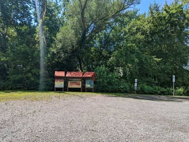
Near Kings Chapel Road at Pulaski Road, on the right when traveling south.
European Contact: 17th and 18th Centuries
17th Century
French and English fur traders and explorers began to traverse the Allegheny Mountains in the late 17th century. The American Indians traded primarily beaver, mink, and other . . . — — Map (db m235182) HM
Formed March 20, 1849 from Beaver and Mercer counties. Its name honors naval hero Captain James Lawrence. County seat, New Castle was laid out in 1802. Between 1890 and 1920 it was one of America's fastest growing cities and center of the tin-plate . . . — — Map (db m40218) HM
Near Kings Chapel Road at Pulaski Road, on the right when traveling south.
General Geography/Economy
The topography, climate, and soil makes western Pennsylvania well-suited for the dairy and agricultural industry, and on well-drained soils, crops produced here include oats, wheat, potatoes, and corn. Poorly-drained . . . — — Map (db m203051)
On W. State Street, on the right when traveling west.
Paleo-Indian (14,000 B.C.-8000 B.C.)
Located about 70 miles away,
Meadowcroft Rock Shelter in
Washington County, has suggested
through radiocarbon dating that there
has been occupation in Pennsylvania
as early as 14,000 B.C.
Archaic . . . — — Map (db m202325) HM
On W. State Street, on the right when traveling west.
The site, known as Quaker Falls, is at
the entrance to the former village of
Quakertown. The remnants of the
village of Quakertown lies just ½
mile Northeast of the falls. Located
in Mahoning Township, Lawrence
County and owned by the . . . — — Map (db m235184) HM
Thin black lines indicate changes in relevance. Between each pair of lines entries are ordered geographically but all have the same relevance.
* Inflectional forms of words are their plurals, singulars, and possessives as well as gramatical tenses and similar variations.