Near Navasota Street north of East 7th Street, on the right when traveling north.
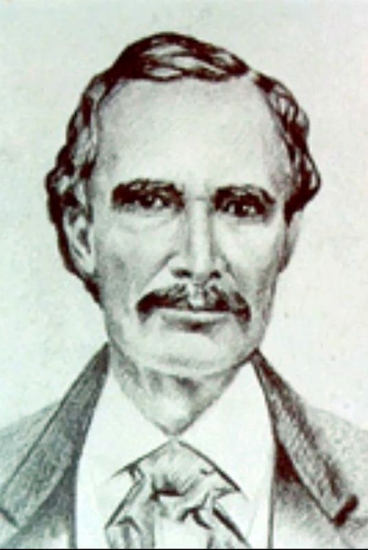
Born in Virginia, June 4, 1778. Died in Jasper County, March 2, 1850. A delegate to the Constitutional Convention of Missouri, 1821. Senator in Legislature of Missouri. Second in command in the Fredonian War in Texas, 1826. Member of the . . . — — Map (db m26205) HM
On South Maxwell Avenue at East Broadway Avenue, on the right when traveling north on South Maxwell Avenue.
Founded in 1913 to mark and promote an automobile route across several states, the Ozark Trails Association was the brainchild of William Hope Harvey of Arkansas, who wanted to improve roads to his Ozark mountain retreat. Thousands of members from . . . — — Map (db m91165) HM
On 3rd Street south of Avenue D, on the left when traveling south.
One of first explorations of North America by Spain. The Coronado Expedition began in Mexico in April of 1540 and crossed into Texas at or near present-day Parmer County. The party, led by Francisco Vázquez de Coronado, was sent to investigate . . . — — Map (db m73701) HM
On Gardner Avenue (U.S. 60) 0.1 miles east of North 3rd Street, on the right when traveling west.
Early in the 20th century, this was one of largest cattle shipping points in the United States.
Originated as the Hay Hook Line Camp of the XIT — famed ranch that received over 3,000,000 acres of land in payment for building Texas State . . . — — Map (db m56080) HM
On West Ash Avenue at Taylor Street, on the right when traveling west on West Ash Avenue.
Built in Parmer County about 1897. Bought and moved here about 1902.
Dodge City couple moving to Texas found shoe thrown by mule. Used it for good luck and as branding iron on ranch to which this old cookhouse belonged.
Recorded . . . — — Map (db m73671) HM
On 4th Street at Avenue H, on the right when traveling south on 4th Street.
Construction on this home began in 1917, soon after the property was purchased by R. C. Hopping. Hopping, who earlier had served as Parmer County commissioner and sheriff, sold the property to James and Minnie Aldridge before the home was completed. . . . — — Map (db m73702) HM
On South Main Street (State Highway 214) at East 8th Street, on the right when traveling north on South Main Street.
When established by the XIT Ranch in 1898, this community was originally called Frio, after Frio (Cold) Draw, and it served as a shipping point on the recently built Pecos & Northern Texas Railroad. In 1906, the George G. Wright Land Co. took . . . — — Map (db m56075) HM
On South 1st Street (State Highway 214) south of West Avenue C, on the right when traveling south.
Bailey County was created August 21, 1876, and named for Peter James Bailey, a Kentucky lawyer killed at the Alamo during the Texas War for Independence.
This was thinly settled cattle country; Bailey was attached for judicial purposes to . . . — — Map (db m73670) HM
Thin black lines indicate changes in relevance. Between each pair of lines entries are ordered geographically but all have the same relevance.
* Inflectional forms of words are their plurals, singulars, and possessives as well as gramatical tenses and similar variations.