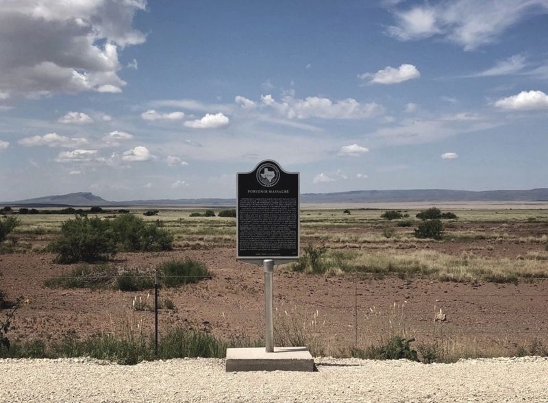
On U.S. 90 0.9 miles south of State Highway 505, on the right when traveling south.
Porvenir was a community in remote northwest Presidio County on the Rio Grande. In the midst of military conflicts and raids across and along the international border and in the immediate area during the Mexican Revolution, the small farming and . . . — — Map (db m141382) HM
On East Frederick Street at Garden Street, on the right when traveling east on East Frederick Street.
The longest rail-road tunnel in its day was the "Big Hill" tunnel of the San Antonio, Fredericksburg & Northern Railway Company (SAF&N), 920 feet in length, carved from solid, limestone. The location of the tunnel is known as Mt. Alamo, situated . . . — — Map (db m292907) HM
In the early 1870's an unknown traveler died at the home of Samuel and Mary Beall, proprietors of a general store in the ranching town of Lagarto. The Bealls buried the man at a site on their property. In 1876, land surrounding the gravesite was . . . — — Map (db m286399) HM
Near Cibolo Creek Road 0.6 miles east of U.S. 67, on the right when traveling east.
George H. Brooks (1833-1911) served in a California volunteer unit during the Civil War before settling in Presidio County in the 1860s. In 1878 he married Mexican native Ygnacia Reza. This cemetery began with the burial of their son, Albion E. . . . — — Map (db m60851) HM
Near South Tenison Avenue at Philadelpha Street, on the left when traveling north.
Kentucky native William Edward Russell (1839-1890) came to Texas in the 1850s and worked his way to the Big Bend region, where he traded along the Chihuahua Trail and had a store at the Horsehead Crossing of the Pecos River. Russell became a . . . — — Map (db m240835) HM
On Woodward Avenue at State Street (Texas Highway 17), on the left when traveling west on Woodward Avenue.
The community of Fort Davis grew up around the military post of the same name, established by the U.S. Army in 1854 to protect travelers on the San Antonio–El Paso Road. Fort Davis was designated as the Presidio county seat when the county was . . . — — Map (db m61191) HM
On State Highway 118 at Farm to Market Road 170, on the right when traveling south on State Highway 118.
The southern region of Brewster County is characterized by rough terrain and low elevations with higher temperatures and less rainfall than in other parts of the County. As a result, only the hardiest of cattle can thrive here.
Border . . . — — Map (db m218777) HM
Thin black lines indicate changes in relevance. Between each pair of lines entries are ordered geographically but all have the same relevance.
* Inflectional forms of words are their plurals, singulars, and possessives as well as gramatical tenses and similar variations.