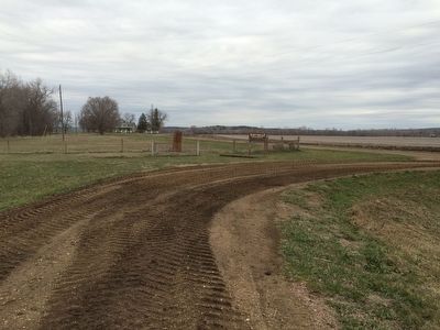
On State Highway 50 0.7 miles east of SD - 11, on the right when traveling west.
This granite block erected by the Old Settlers Association of Union County, South Dakota, marks the site of Fort Brule Built in 1862 by soldiers and settlers as protection against renegade and hostile Indians. Abandoned in 1868 Dismantled . . . — — Map (db m190166) HM
Near Interstate 29 at milepost 26 at State Route 50.
The rich farm country of southeast South Dakota lies in the triangle formed as the Missouri River, to the west, and the Big Sioux River, east of here, flow toward their confluence about 37 miles southeast of this point. This was the land that drew . . . — — Map (db m179908) HM
On S. Harrison St. 0.2 miles west of W. Jefferson, in the median.
Lewis & Clark Campsite
The Missouri River has carved many channels in its history. One such channel curved through the western edge of Elk Point creating the area now known as Heritage Park.
On August 22, 1804, Captain William Clark . . . — — Map (db m100821) HM
On State Highway 50 east of 469th Avenue, on the right when traveling west.
On November 25, 1935, 17 farmers from Clay and Union counties held an historic meeting at the Manning/O'Connor store in Burbank, three miles south of this spot. Their purpose was to form a consumer-owned corporation which would allow the rural . . . — — Map (db m221237) HM
On State Highway 50 west of 469th Avenue, on the right when traveling east.
On November 25, 1935, 17 farmers from Clay and Union counties held an historic meeting at the Manning/O'Connor store in Burbank, three miles south of this spot. Their purpose was to form a consumer-owned corporation which would allow the rural . . . — — Map (db m179899) HM
On 479th Avenue (State Highway 11) at 301st St, on the right when traveling north on 479th Avenue.
Camp SCS-3 (DPE-211 in 1934): located in city park of NE Alcester. Companies: 2746--8/3-10/1/34 & 6/27/35-8/14/41; 4725V--8/15/41 - 5/27/42.
The Civilian Conservation Corps was a federal work - relief program during the Great Depression. . . . — — Map (db m190163) HM
On South 8th Street at West Oak Street, on the right when traveling south on South 8th Street.
who was born Jan. 13, 1869 in Claremont County, Ohio. Graduated from the University of Michigan in 1893, emigrating to South Dakota in the same year, engaging in the practice of law at Beresford. He watched the new town grow, and helped develop it . . . — — Map (db m190082) HM
Thin black lines indicate changes in relevance. Between each pair of lines entries are ordered geographically but all have the same relevance.
* Inflectional forms of words are their plurals, singulars, and possessives as well as gramatical tenses and similar variations.