Sons and Daughters of Idaho Pioneers Historical Markers
This series consists primarily of large, 'concrete' Idaho-shaped monuments erected by the Sons and Daughters of Idaho Pioneers, but sometimes by other groups, and other markers erected by the Sons and Daughters of Idaho Pioneers.
On Wall Street at Commercial Street, on the right when traveling west on Wall Street.
Built in May, 1864 by G.B. Walker at a cost of $10975. Jointly used by Idaho Territory and Boise Co. Original site was on Buena Vista Bar west of City. Building was moved in 1930 to make way for gold mining, and move twice more before being placed . . . — — Map (db m119105) HM
On Soda Point Power Plant Road near Reservoir Road, on the right when traveling south.
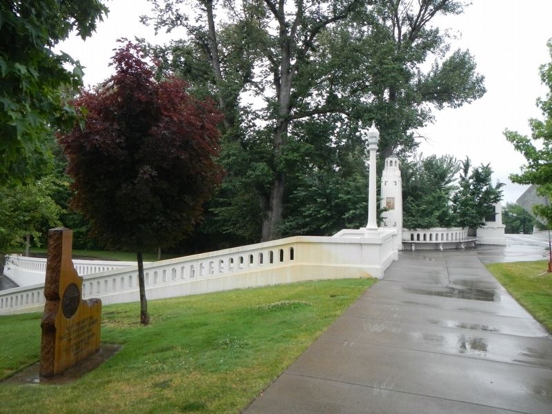
Oregon Trail Memorial
Erected 1931
Restored 1978
Caribou County 4H Builders Club
In honor of William Henry Harrison of Massachusetts who lost his life on the Oregon Trail about 1850.
Erected by his niece Mrs. Alura F. . . . — — Map (db m106732) HM
On Elba-Almo Road at 3000 South, on the right when traveling south on Elba-Almo Road.
Dedicated to the Memory
Of those who lost their lives in a most
Horrible Indian Massacre 1861
Three hundred immigrants west bound
Only five escaped — — Map (db m119536) HM
On Park Road, 0.4 miles south of West Madison Avenue.
To all pioneers who crossed over Three Island Crossing and helped to win the west. Erected 1931 by Troop One Boy Scouts of America Roslyn, New York Scoutmaster E.K. Pietsch Reproduced 1990 — — Map (db m31679) HM
On U.S. 95 at Airport Road, on the right when traveling north on U.S. 95.
Erected in memory of the seventeen volunteers who engaged in battle with the Indians 2000 feet East from this point with two killed and three wounded the 5th day of July 1877 during the Nez Perce Indian War. Captain D.B. Randall, C.M. Day, James . . . — — Map (db m121144) HM
On U.S. 95 at milepost 295 near Elk Horn Lane, on the left when traveling north.
Located Sept. 15, 1846 by William Craig mountain man and his Indian wife Isabel.
First permanent white settler in Idaho, 1840, first Nez Perce Indian Agent, 1848; interpreter at Walla Walla Flathead and Blackfoot Councils, 1855 Lieutenant . . . — — Map (db m121603) HM
On Highway 78 near Bailey Street, on the left when traveling west.
Erected to the memory of the
Otter Massacre
1860
Forty four persons ambushed by Shoshoni Indians either killed or scattered. Most awful human experience. Site ten miles east on Sinker Creek. — — Map (db m110210) HM
On U.S. 30 near Little Cedar Street, on the left when traveling west.
Historical Spot
Stricker Store and Rock Creek Stage Station. Five miles south, one mile west. First Trading Post to be established west of Fort Hall on the Old Oregon Trail in 1863. — — Map (db m125447) HM
On North Superior Street (U.S. 95) near West Hopper Avenue, on the left when traveling north.
This marker commemorates the Cuddy Mill.
Built by John Cuddy in 1869. Originally six miles north of here, at the foot of Cuddy Mountain. The General Howard Expedition against the Indians on the warpath under Chief Joseph had grain ground . . . — — Map (db m119371) HM