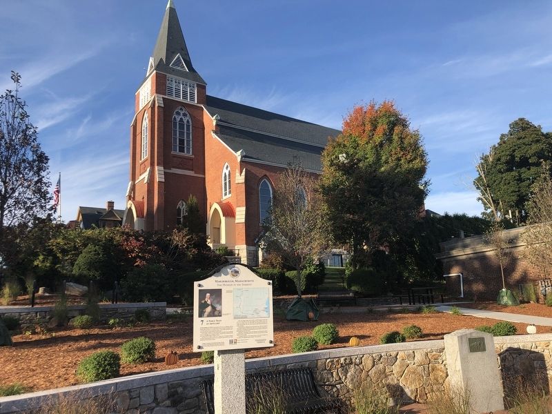
On West Main Street at Prospect Street, on the right when traveling west on West Main Street.
In November of 1775, the Revolutionary War was at a stalemate with the British siege of Boston in its seventh month. General George Washington commissioned twenty-five-year-old Henry Knox to “do all things necessary to purchase and otherwise . . . — — Map (db m260431) HM
On Windsor Street south of Main Street, on the right when traveling south.
Marlborough's largest inner-city recreation land, Ward Park was named after the first Commander of the Continental Army, General Artemas Ward. The park is located across the street on property originally granted to William Ward, one of the founding . . . — — Map (db m260440) HM
On Granger Boulevard (U.S. 20) at South Bolton Street, on the right when traveling east on Granger Boulevard.
Marlborough has followed the patterns of the American experience, depending largely on wave after wave of immigrant groups to fuel the need for cheap labor for its industrial growth. Before 1850, the few factories in town employed only descendants . . . — — Map (db m260513) HM
On West Main Street (U.S. 20) at Mechanic Street when traveling west on West Main Street.
Marlborough's downtown monuments testify to the pride the city exhibits in honoring those who have made the ultimate sacrifice.
The largest Marlborough marker is the Civil War monument dedicated in 1869, which specifically identifies the . . . — — Map (db m260438) HM
On Court Street south of Main Street, on the left when traveling south.
In 1888, with Marlborough growing by leaps and bounds, Samuel Boyd, an entrepreneur, shoe
manufacturer and “Father of the City”, had visions of bringing a trolley system to Marlborough. He built and started a horse drawn system in 1888 and . . . — — Map (db m260493) HM
On Mechanic Street at West Main Street, on the right when traveling south on Mechanic Street.
In 1901, faced with an increasing demand for library space, Marlborough's Mayor Walter Morse sought the help of philanthropist Andrew Carnegie whose library charities grew to include 1,689 libraries in the United States and 2,509 worldwide.
Our . . . — — Map (db m260421) HM
On Central Street at Prospect Street, on the right when traveling east on Central Street.
The Old Common Cemetery is the second-oldest graveyard in Marlborough. The oldest is located on Spring Hill behind and to the east of First Church.
The earliest gravestone dates from 1713, the latest is dated 1884. Howe, Brigham and Rice . . . — — Map (db m260424) HM
On Newton Street at Weed Street, on the right when traveling north on Newton Street.
Marlborough's vibrant downtown in the 1900s would have seemed highly improbable to those who lived here during the early 1800s.
The 1833 state map of Marlborough shows that Marlborough's East Village and West Village, though well-developed, . . . — — Map (db m260462) HM
On Main Street at South Bolton Street, on the right when traveling east on Main Street.
Samuel Boyd (1812-1892) single-handedly shaped Marlborough from a small town to a vibrant city. He was a banker, an entrepreneur, and a pioneering shoe manufacturer. He owned the Boyd & Corey Shoe Factory on Main Street, reputed to be the largest . . . — — Map (db m260488) HM
On Brown Street north of Main Street, on the right when traveling south.
Spring Hill Cemetery was first known as “Marlborough's Ould Burrying Feeled.” Lying on a raised plateau, it is invisible from all the surrounding streets but located just a short walk up the hill from this spot on Brown Street.
The oldest . . . — — Map (db m260510) HM
On Main Street at Newton Street, on the right when traveling east on Main Street.
An unfortunate feature of any central commercial district is its historical exposure to fire and natural disaster.
In the early to mid-nineteenth century, almost all buildings in downtown Marlborough were made of wood. Arson and accidental . . . — — Map (db m260449) HM
On Main Street west of Exchange Street, on the right when traveling west.
Before 1750, Marlborough's town center was located in the area of the present Walker Building. It included a Meeting House, the minister's house and a blacksmith shop.
In the 1750's, Henry Barnes, British loyalist, built a home at the corner of . . . — — Map (db m260504) HM
Near Main Street west of Court Street, on the right when traveling west.
In 1656, thirteen prominent citizens of Sudbury proposed a settlement to the west of their town and, in 1660, Marlborough was granted a charter.
It quickly became an important frontier outpost, opening a path on the main road to the Connecticut . . . — — Map (db m260466) HM
Near High Street at Bolton Street, on the right when traveling east.
The First Church
From its very beginning, Marlborough's First Church played a critical role in the history of the town. The town's first Meeting House was constructed in 1663 on the Old Common on upper Main Street. That building was burned by . . . — — Map (db m260503) HM
On Rawlins Avenue at Main Street, on the left when traveling south on Rawlins Avenue.
Marlborough's first Meeting House, built here on the Old Common in 1663, may well be unique in all of Colonial history in that it was built on another “town's” property. A deed was subsequently brokered with the Praying Indians, the actual land . . . — — Map (db m260434) HM
On Court Street at Main Street, on the left when traveling south on Court Street.
Marlborough's “Great Shoe Strike” was a battle that had serious negative impact on the city for decades, resulting in personal and business bankruptcies, losses in revenue, purchasing
power and credit, plummeting property values, and home . . . — — Map (db m260486) HM
On Main Street west of Exchange Street, on the right when traveling west.
In 1859, abolitionist John Brown attacked the Federal Armory at Harpers Ferry, Virginia (now West Virginia) intending to create a general uprising that would lead to the eventual freedom of slaves throughout the United States. Surrounded in the . . . — — Map (db m260505) HM
On Florence Street at Weed Street, on the left when traveling south on Florence Street.
There may be little evidence of it today, but train service was once a major part of Marlborough community life.
A downtown station with a connection to Boston via Framingham was opened in June of 1855. Known as the Marlborough Branch, it ran . . . — — Map (db m260460) HM
On Main Street at Windsor Street, on the right when traveling east on Main Street.
In the Colonial era, Marlborough was both on the frontier and on the main road, and acted as a primary parade route for early American history.
In August 1675, in the midst of King Philip's War, a party sent to Brookfield to . . . — — Map (db m260444) HM
On Main Street at Florence Street, on the right when traveling east on Main Street.
This site once served as home to a prestigious theater that entertained thousands of local residents during the early 1900s.
After hosting numerous prominent abolitionist speakers in the pre-Civil War era, the old Town Hall was moved to this . . . — — Map (db m260457) HM
On Main Street west of Bolton Street, on the right when traveling west.
During the period of the American Revolution, this property belonged to Henry and Christian Barnes. Both were Tories (American colonists who supported England) and were eventually exiled as traitors.
Henry Barnes came from Boston in the . . . — — Map (db m260490) HM
On Prospect Street at Washington Street, on the right when traveling south on Prospect Street.
Baseball has been popular in Marlborough since the
mid-1800's. The most memorable baseball game came on a
fall day in 1901, when local amateurs defeated the professional
Boston Americans, the team that would later become the Boston
Red Sox.
. . . — — Map (db m260428) HM
On Main Street at Granger Boulevard, on the right when traveling east on Main Street.
When President George Washington visited Boston during his tour of the newly formed United States, he was asked if there was anyone in particular he wanted to meet. One man stood out, Marlborough resident William Dawes, who Washington described . . . — — Map (db m260506) HM