Near East 8th Street east of North Phillips Avenue, on the right when traveling east.
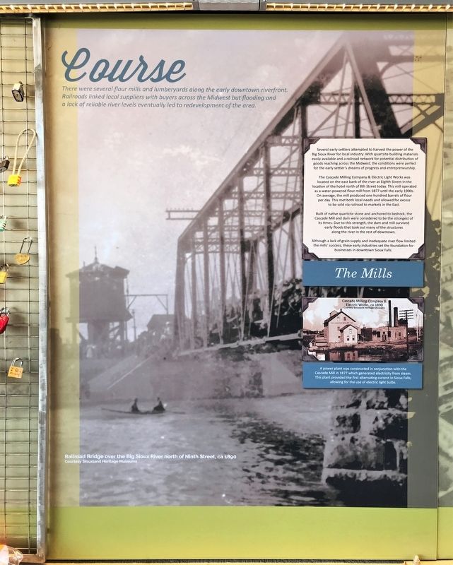
There were several flour mills and lumberyards along the early downtown riverfront. Railroads linked local suppliers with buyers across the Midwest but flooding and a lack of reliable river levels eventually led to a redevelopment of the area. . . . — — Map (db m195032) HM
Near East 8th Street east of North Phillips Avenue, on the right when traveling east.
The combination of heavy snowfall and spring rains have been flooding the banks of the Big Sioux River for many years – these destructive events led to levee improvements and the reconstruction of downtown bridges & businesses. . . . — — Map (db m195034) HM
Near East 8th Street east of North Phillips Avenue, on the right when traveling east.
At least three bridges have been built to allow passage over the Big Sioux River in this location, ranging from a single span steel truss structure to a three-span reinforced concrete arch bridge.
By the numbers
Total Bridge Length: . . . — — Map (db m195036) HM