THE HISTORICAL
MARKER DATABASE
“Bite-Size Bits of Local, National, and Global History”


5 entries match your criteria.  


Related Historical Markers

 
By John Wayman, July 20, 2021
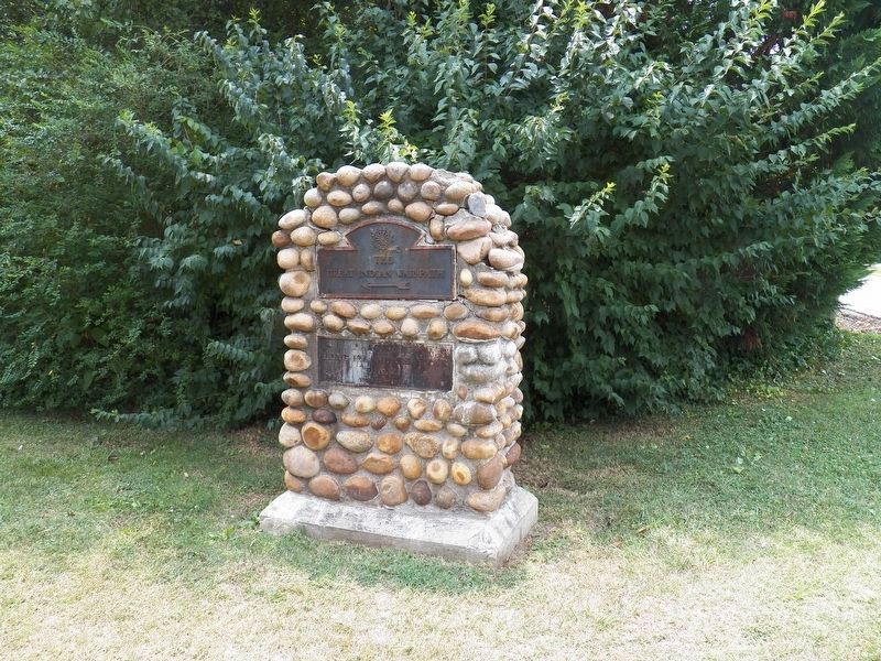
The Great Indian Warpath Marker
SHOWN IN SOURCE-SPECIFIED ORDER
1 ► Tennessee, Hawkins County, Kingsport — The Great Indian Warpath —
On Netherland Inn Road at Canongate Road, on the right when traveling east on Netherland Inn Road.
The Great Indian Warpath ← — — Map (db m177786) HM
2 ► Tennessee, Sevier County, Sevierville — The Great Indian Warpath —
On Canaway Way at Boyds Creek Highway (Tennessee Highway 338), on the right when traveling south on Canaway Way.
The Great Indian Warpath ← — — Map (db m169715) HM
3 ► Tennessee, Sullivan County, Kingsport — The Great Indian War Path —
On West Stone Drive (U.S. 11W) east of Mary Street, on the right when traveling east.
The Great Indian Warpath ← — — Map (db m108207) HM
4 ► Tennessee, Sullivan County, Kingsport — The Great Indian Warpath —
On West Sullivan Street just west of Fairmount Avenue, on the right when traveling east.
The Great Indian Warpath — — Map (db m213728) HM
5 ► Tennessee, Jefferson County, Dandridge, Jefferson City — The Great Indian Warpath —
On Tennessee Route 92 south of West Dumplin Valley Road, on the left when traveling north.
"Along the vallies of what is now East Tennessee and South-western Virginia, lay the great route and thoroughfare between the northern and southern Indians, in their intercourse with distant tribes, in the hunting excursions, in their . . . — — Map (db m220472) HM


CeraNet Cloud Computing sponsors the Historical Marker Database.
This website earns income from purchases you make after using our links to Amazon.com. We appreciate your support.
Paid Advertisement
Nov. 11, 2026
