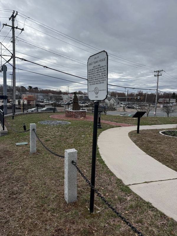
On Washington Street (Massachusetts Route 53) at Middle Street, on the right when traveling east on Washington Street.
Site of first “Town House” Here in 1852 at the geographical
center of Weymouth was built the first “Town House” or Town Hall, later used as a high school. During King Philip’s War in 1675, this was the location nearest to Boston at which settlers . . . — — Map (db m296638) HM
Near Metacom Avenue (Rhode Island Route 136) 0.1 miles south of Mount Hope Avenue, on the right when traveling north.
Mount Hope (originally Montaup in the Pokanoket language) is a wooded promontory on the eastern shore of Bristol, Rhode Island overlooking the part of Narragansett Bay known as Mount Hope Bay. Before the European settlers arrived in New England, . . . — — Map (db m301431) HM
On Washington Street (Massachusetts Route 138) south of Homans Lane, on the right when traveling south.
The north line of Ponkapoag Plantation second of the Apostle Eliot's Praying Indian towns, set apart by the Dorchester Proprietors in 1657. — — Map (db m308384) HM