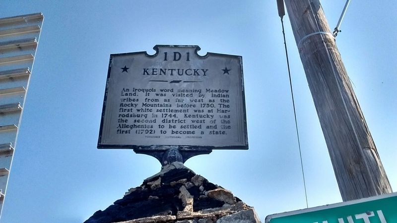
On U.S. 25 at State Street, on the left when traveling north on U.S. 25.
Campbell County
Established 1806: reportedly named in honor of Col. Arthur Campbell. Member of the Virginia House of Burgesses; Commanded 70th Regiment Virginia Militia, in the Revolution; Commissioner for negotiation of Indian Treaties in . . . — — Map (db m119950) HM
Near Interstate 75, on the right when traveling south.
Welcome to Campbell County, Tennessee! Get ready to visit small towns with big stories.
Tennessee Civil War Trails tells riveting stories of battles and leaders, and much more. You'll learn about some of the state's 275,000 enslaved men and . . . — — Map (db m253986) HM
On North Tennessee Avenue at North Indiana Avenue (U.S. 25W), on the right when traveling south on North Tennessee Avenue.
The road in front of you winds through Big Creek Gap, one of the few natural openings through the Cumberland Mountains in the region. During the Civil War, this corridor was much narrower and steeper, and even lightly loaded wagons found travel . . . — — Map (db m74229) HM
Near 4th Avenue South at Oak Street, on the right when traveling south.
During much of the 19th century, those who lived in the city came from all walks of life. Nashville's population was comprised of a combination of independent business owners, slaveholders, poor whites, Irish an german immigrants, free Blacks, and . . . — — Map (db m205371) HM
On Taylor Street 0.2 miles north of 4th Street, on the right when traveling south.
Nearby are ten fieldstones marking the graves of members of the allied Whitlow and Bradley families, buried in their family graveyard between 1850 and 1925, and re-interred here in the Old City Cemetery in 1998.
The old family burying ground . . . — — Map (db m179825) HM
On Boat Rock Road at Campbellton Road and New Hope Road SW, on the right when traveling north on Boat Rock Road. Reported missing.
An old Campbell County crossroads cited in James P. Snell’s Diary as “a one-horse settlement with no pond, but two or three houses & blacksmith shop” — a landmark in the movement of Howard’s Army of the Tennessee from the Atlanta siege lines to the . . . — — Map (db m19095) HM
On Indian Mountain State Park Circle, on the left when traveling north.
The Civil War in Campbell County was often personal. Few residents owned slaves, and a large majority – 1,094 to 60 – voted against secession in June 1861. Local men formed what became Co. A and Co. B, 1st Tennessee Infantry (US), at the . . . — — Map (db m119921) HM
On East Central Avenue (Tennessee Route 63) at South 6th Street, on the right when traveling north on East Central Avenue.
Completed in December, 1909, this chapel was erected for and by a small colony of Italian, Bavarian, and English Catholic families answering the call of Indiana industrial baron, Harvey M. Lafollette, to labor on the railroad, dig coal, and . . . — — Map (db m155314) HM
Thin black lines indicate changes in relevance. Between each pair of lines entries are ordered geographically but all have the same relevance.
* Inflectional forms of words are their plurals, singulars, and possessives as well as gramatical tenses and similar variations.