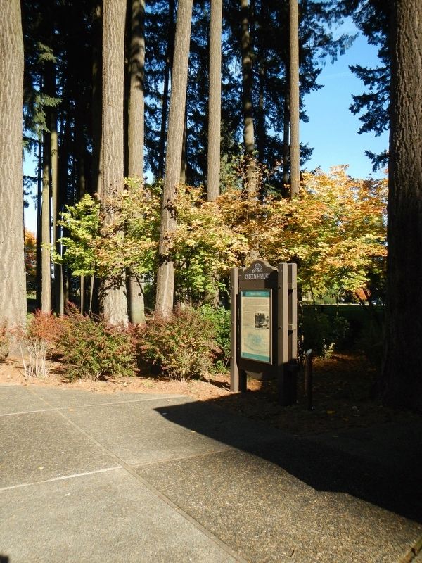
Near Interstate 5 at milepost 281, 1 mile south of Miley Road, on the right when traveling north.
During the period of Oregon's Provisional Government ( 1841-1849), residents traveled by Indian trails, water courses, or on privative rough-hewn wagon roads etched by emigrant settlers. During the days to the Territorial Government (1849-1859), and . . . — — Map (db m114295) HM
On Northbound Rest Area (Interstate 205), on the right when traveling north.
Chief factor of the Hudson’s Bay Company at Fort Vancouver, philanthropist, and founder of Oregon City. The land on the east bank of the Willamette River at the falls was claimed by Dr. McLoughlin and the Hudson’s Bay Co. in 1828-29. First called . . . — — Map (db m8669) HM
Many of Oregon’s early transportation routes resulted from the efforts of enterprising pioneers like the Boone family of Clackamas County. In 1846 Alphonso Boone, grandson of Daniel Boone, emigrated to Oregon via the Applegate Trail with his large . . . — — Map (db m127162) HM
Near Road 92 (County Route 50) near Gray Rocks Road, on the right when traveling west.
Mary Elizabeth Homsley was born near Lexington, Kentucky, July 20, 1824. She move with her parents, Jacob and Sarah Oden, to Truxton, Missouri, where she was married to Benjamin Franklin Homsley in 1841. In April 1852, accompanied by Mary's . . . — — Map (db m98361) HM
On Main Street at 6th Street, on the right when traveling south on Main Street.
The oldest brick commercial building remaining in downtown Oregon City
early tenants were J Myers & Co
"Cheap Cash Store" (1865-1888)
Clackamas County Courthouse (1865-1885)
Oregon City Enterprise (1880-1919)
the Bank of Oregon City . . . — — Map (db m288863) HM
Willamette Falls is the second-largest waterfall by volume in North America. From time immemorial through today, it has been a gathering place for Native Americans. In the 1800s, it was the birthplace of the Oregon Territory and a center of . . . — — Map (db m269858) HM
Near Washington Street near Abernethy Road, on the right when traveling north.
"We pitched our tent... remaining at this camp for about one week, feasting on watermelons and good, fresh vegetables right from the garden, which are brought in by the Clackamas County farmers in great abundance." E.W. Conyers on arrival in . . . — — Map (db m114201) HM
On Boeckman Road, on the right when traveling east.
German immigrant farmers, attracted by the fertile fields of eastern Wilsonville, settled in this area and in 1878 founded Die Deutsche Evangelishe Reformierte Meridian Gemeinde des Clackamas County, Oregon, now the Meridian United Church . . . — — Map (db m231882) HM
Thin black lines indicate changes in relevance. Between each pair of lines entries are ordered geographically but all have the same relevance.
* Inflectional forms of words are their plurals, singulars, and possessives as well as gramatical tenses and similar variations.