Near Gunnison River Drive (North Palmer Street) 0.3 miles west of U.S. 50.
Follow the Trail It is 1829, eight years after Mexico gained independence from Spain. New Mexican traders travel overland to establish new commercial relations with frontier settlements in California. They carried locally produced merchandise . . . — — Map (db m290975) HM
Near East 3rd Street at Riley Lane, on the left when traveling east.
The Delta Bank Robbery On or about August 20, 1893, the McCarty Gang arrived in the Delta area and set up camp in Escalante Canyon. Tom McCarty, his brother Bill, and Bill's 20 year old son, Fred, had probably departed from the . . . — — Map (db m290986) HM
On North Palmer Street 0.1 miles north of Confluence Drive, on the right when traveling north.
Western Slope Agriculture
According to an 1888 U.S. Department of Agriculture report, western Colorado's thin soils, high altitude, and lack of rainfall rendered the region totally unfit for cultivation. The document’s author apparently . . . — — Map (db m120123) HM
Near Gunnison River Drive (North Palmer Street) 0.3 miles west of U.S. 50.
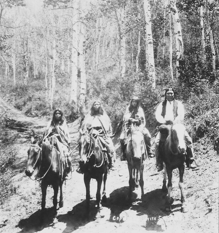
The ancient tree was once part of a grove of native cottonwoods under which the local Ute Indians would camp and hold council prior to 1881. An Indian trail passed nearby. It has been identified as the Ute Council Tree since 1930, when the local . . . — — Map (db m290967) HM
Thin black lines indicate changes in relevance. Between each pair of lines entries are ordered geographically but all have the same relevance.
* Inflectional forms of words are their plurals, singulars, and possessives as well as gramatical tenses and similar variations.