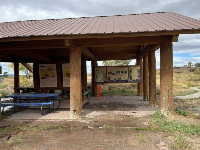
Welcome to Walden & North Park
Visit the “Moose-Viewing Capitol of Colorado”
North Park was home and hunting grounds for Native Americans. By 1840, trappers discovered this area and called it “New Park”. Miners and homesteaders soon . . . — — Map (db m311391) HM
On Walnut Street (U.S. 90), on the right when traveling east.
William L. Menefee, born ca. 1796 in Knox County, Tennessee, served in the Tennessee Militia in the War of 1812. He studied law and was admitted to the bar sometime prior to 1824 when he moved to Alabama. In 1830 he and his wife Agnes (Sutherland) . . . — — Map (db m130391) HM
Near Main Street (State Highway 14/125) just west of Grant Street, on the right when traveling west.
Community Legacy Isolated North Park, a high mountain valley encompassing Jackson County, requires resilience from those who choose to live here. It is a place where rugged ways of life have endured the test of time. No matter the . . . — — Map (db m283135) HM
On East Red Bridge Road, on the right when traveling west.
(This marker has two panels. From the left panel:)
Key Map
Traveling across this bridge, the fourth Red Bridge near this location since 1859, you may notice art panels attached to each of the large pillars that rise at both . . . — — Map (db m210568) HM
Why was it fought?
Mexico never recognized the Republic of Texas which was established as an independent country in 1836 with the defeat of Mexico in the Texas Revolution. By 1845 most of the citizens of Texas wished to be part of the . . . — — Map (db m268248) HM
On Delaware Street at U.S. 24, on the left when traveling north on Delaware Street. Reported missing.
Side A:
Independence, famed "City of the Trails," was for two decades the starting point of the great western trade and travel routes to Santa Fe, Oregon, and California. Settled mainly by Southerners on land ceded the U.S. by the Osage . . . — — Map (db m44323) HM
On East 99th Street east of Holmes Road, on the right when traveling west.
Public/private partnerships preserve three National Historic Trails in south Kansas City, highlighting 19th century exploration and migration that shaped the nation. In the heart of the historic 3-Trails Corridor, the Trailside Center at East . . . — — Map (db m199522) HM
Thin black lines indicate changes in relevance. Between each pair of lines entries are ordered geographically but all have the same relevance.
* Inflectional forms of words are their plurals, singulars, and possessives as well as gramatical tenses and similar variations.