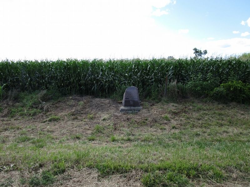
On Lost Nation Road 1 mile south of South Lost Nation Road, on the right when traveling south.
The first trading post between Fort Dearborn and the Mississippi River stood on the high knoll overlooking Franklin Creek one-third of a mile west of this spot. About 1800-1836. — — Map (db m131910) HM
On Main Street east of Water Avenue, on the right when traveling east.
During the period of 1839-1846, members of The Church of Jesus Christ of Latter-day Saints (also known as Mormons) settled here in Lee County, Iowa and in Nauvoo, Illinois, on the opposite (eastern) side of the Mississippi River. Nauvoo was the . . . — — Map (db m179453) HM
Near North Galena Avenue (U.S. 52) just south of Boyd Street, on the right when traveling south.
1868: The Construction of the Truesdell Bridge
From Dixon’s founding in 1830 until 1846, the only way to cross the river was by boat or by John Dixon’s ferry. From 1846 to 1868, at least eight wooden bridges were built across the Rock . . . — — Map (db m232618) HM
Early settlers of Lee County believe that the explorers Marquette and Joliet landed at this spot in 1673. From here they made their only overland exploration on the west bank of the Mississippi, finding villages of the Illini tribe. Other French . . . — — Map (db m179445) HM
Near Mechanic Street (State Road T 864) north of Natural Tunnel Parkway (State Road 871), on the left when traveling north.
The Crooked Road
Virginia's Heritage Music Trail
From the Blue Ridge Mountains to the Coalfields region, southwest Virginia is blessed with historic and contemporary music venues, musicians, and fretted instrument makers. Historically . . . — — Map (db m283216) HM
Near Palmyra Street (Illinois Route 2) at Palmyra Road, on the right when traveling west.
In memory to these men who gave the ultimate sacrifice. They served their country in a land far away so others could enjoy the freedom we have. We will forever honor their service and dedication.
Leroy Clyde Schaneberg, Ashton IL, . . . — — Map (db m239097) WM
On Third Street, on the right when traveling north.
On this site stood a Rosenwald School. Educator Booker T. Washington (1856-1915) enlisted philanthropist and CEO of Sears, Roebuck & Company, Julius Rosenwald (1862-1932) to help fund the building of rural community schools for African American . . . — — Map (db m131643) HM
Thin black lines indicate changes in relevance. Between each pair of lines entries are ordered geographically but all have the same relevance.
* Inflectional forms of words are their plurals, singulars, and possessives as well as gramatical tenses and similar variations.