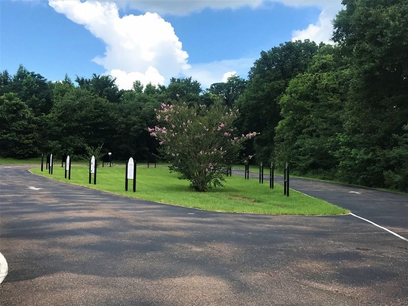
Near Highway 61 1 mile south of Stampley Road, on the left when traveling south.
Messengers from 5 Baptist churches met at the Salem Church in September 1806, to organize the Mississippi Baptist Association. The Union and Pearl River Association were organized in 1820. The first Mississippi Baptist Convention was organized . . . — — Map (db m105522) HM
Side 1 Elected president of the Pike County branch of the NAACP in 1954, Curtis Conway Bryant (1917-2001) played a major role in early civil rights activism of southwest Mississippi. He campaigned to expand membership in the NAACP, led large . . . — — Map (db m108990) HM
On Campground Road south of Highway 591, on the left when traveling south.
Pike County was developed in an area which was originally occupied by the Chickasaw, Choctaw and Natchez Indians. The Otapasso tribe gave their name to the creek which is now named Topisaw. The region had been claimed successively by France, . . . — — Map (db m127144) HM
On Tennessee Street (County Highway 93 N) north of Main Street, on the right when traveling south.
Pike County was formed on December 9, 1815; carved out of Marion County. Her first Seat of Justice was located in the bustling community of Holmesville (Ratified by the Mississippi General Assembly
n December 11, 1816). Situated on the Bogue . . . — — Map (db m129213) HM
On Tennessee Street at Main Street, on the right when traveling north on Tennessee Street.
On December 9, 1815, the General Assembly of the Mississippi Territory created Pike County from a portion of Marion County and named the new county in honor of Brig. Gen. Zebulon M. Pike, who was killed in action during the War of 1812. The first . . . — — Map (db m101510) HM
On Illinois Route 100, on the right when traveling east.
Beyond the river banks
The quick ride across the Brussels Ferry opens to a world of pristine countryside, flowering hillsides and a slow-paced lifestyle for which Calhoun County has become known during every season of the year.
. . . — — Map (db m225178) HM
Near Montgomery Street at State Street, on the left when traveling north.
Scores of people lost their lives in the struggle against racial injustice. Here are the portraits of 32 people whose deaths profoundly impacted those who organized, boycotted, and marched in Montgomery, Alabama.
[Left to Right - . . . — — Map (db m304155) HM
On Main Street (U.S. 19) at Jackson Street, on the left when traveling south on Main Street.
Created by Act of Dec. 9, 1822, from Monroe County, Pike County originally contained part of Spalding, Upson and Lamar Counties. It was named for Zebulon Montgomery Pike (1779-1813), leader, in 1805, of an expedition to trace the Mississippi River . . . — — Map (db m59609) HM
On West Main Street at North Main Cross Street when traveling west on West Main Street.
This is a two sided markerSide A:
Bowling Green, the capital of Pike County, lies 12 miles in from the Mississippi River on a rolling plain, 880 feet above sea level. First pioneer here, John W. Basye, came in 1820 and by 1823, . . . — — Map (db m78676) HM
On Main Street at Jackson Street, on the right when traveling north on Main Street.
The Champ Clark Bridge was opened in 1928 and connected Louisiana, Missouri with the state of Illinois over the Mississippi River. The Louisiana and Pittsfield Chambers of Commerce agreed on the need for this bridge. This five-span Baltimore . . . — — Map (db m156374) HM
On All American Park north of Hampshire Street, on the right when traveling south.
Colonel Ulysses S. Grant and the 21st Illinois infantry arrived in Quincy, Illinois, around noon on 11 July 1861 having completed the last leg of their journey across Illinois.
From Quincy, the troops were ferried across the Mississippi River . . . — — Map (db m150026) HM
On U.S. 54 2.5 miles east of Mississippi River, on the right when traveling east.
In 1673 the areas of the Mississippi and Illinois Rivers were explored by Frenchmen Louis Joliet and Father Jacques Marquette. Their voyages resulted in French claims on the area until 1763 when, by the Treaty of Paris, France ceded the land to . . . — — Map (db m78655) HM
On Martin Luther King Junior Drive north of Lynn Avenue, on the right when traveling north.
Aylene "Mama" Quin was born in Walthall County
and moved to McComb in 1953. Quin was a local
businesswoman and community pillar who supported
SNCC organizers and McComb's 1961 voter
registration drive. Throughout the 1960s. Quin . . . — — Map (db m273189) HM
Side A Located above Burgland Supermarket, the
Masonic Temple became a center of civil
rights activities in McComb. In 1961, SNCC
leader Bob Moses and other activists led
voter education classes here, encouraging
Black citizens in Pike County . . . — — Map (db m272448) HM
On Pike 93 Central (County Highway 93) 0.1 miles north of Magnolia Holmesville Road, on the right when traveling north.
This public burial ground was established
in 1823 on land donated by Colonel Peter
Quin. Jr. for Holmesville, which became
the seat of Pike County in the Mississippi
Territory in 1816. The first burial was that
of Lucretia Quin, the infant . . . — — Map (db m201279) HM
Near South Railway Boulevard north of Canal Street, on the right when traveling north.
Locomotive #2542 — a mountain type locomotive — was originally manufactured as locomotive
#2906 in 1921 in Lima Ohio. In 1942 the wheel arrangement was reconfigured from a 2-10-2 to a
4-8-2 arrangement, and it was then designated as locomotive . . . — — Map (db m202251) HM
The fertile prairies in Illinois attracted the attention of French trader Louis Jolliet and Father Jacques Marquette as they explored the Mississippi and Illinois Rivers in 1673. France claimed this region until 1763 when she surrendered it to Great . . . — — Map (db m272438) HM