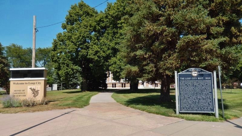
On O Street at North 7th Street, on the right when traveling west on O Street.
During the Depression low farm prices, accompanied by dust storms and drought, created unrest among farmers and workers in Sherman County and across Nebraska. The Farm Holiday movement, which encouraged farmers to withhold agricultural products . . . — — Map (db m181102) HM
On State Highway 92 just east of State Highway 10, on the right when traveling east.
In April 1873, Headquarters, Department of the Platte at Omaha, ordered a military scout of the North and Middle Loup River Valleys. The detachment of soldiers was commanded by Captain John Mix of Company M, of the Second Cavalry, and guided by . . . — — Map (db m179395) HM
On North 1st Avenue just north of O Street, on the right when traveling north.
Jenner’s Zoological, Educational, and Amusement Park was the creation of Henry Jenner and his brother, Robert Bond Jenner. These young Englishmen left London for Nebraska in the 1880s, making them early pioneers of the area. Originally built about . . . — — Map (db m181112) HM
On State Highway 58 0.4 miles south of Road 785, on the right when traveling south.
Austin was named in honor of Simeon Austin, a circuit rider. In 1877 the Austin post office was established on the farm of Oliver S. Brown and continued until 1919. The Union Pacific Railroad arrived in 1886; the Austin siding was built halfway . . . — — Map (db m181796) HM
On 2nd Avenue at West 7th Street, on the right when traveling south on 2nd Avenue.
In 1874, the Children's Aid Society (CAS) created the Family Emigration Program to expand their Placing Out Department. The object of the program was to help destitute families get a new start outside the city while keeping the families intact. . . . — — Map (db m212589) HM
On Commerce Road south of Old U.S. 24, on the right when traveling south.
Welcome to Land and Sky Scenic Byway, a land of expansive sky and agricultural abundance.
The expanse of land and sky extending in all directions provides an excellent
opportunity to see the agricultural abundance of Kansas in addition . . . — — Map (db m282332) HM
Thin black lines indicate changes in relevance. Between each pair of lines entries are ordered geographically but all have the same relevance.
* Inflectional forms of words are their plurals, singulars, and possessives as well as gramatical tenses and similar variations.