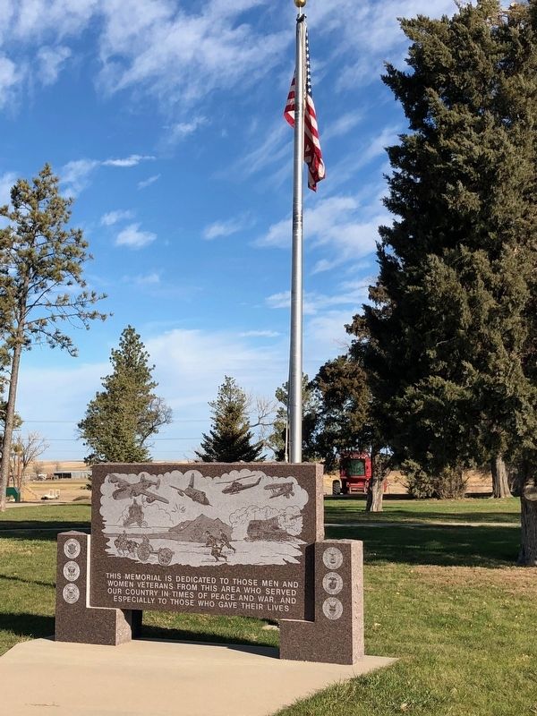
On Ash Ave at N. 7th St, on the right when traveling east on Ash Ave.
This memorial is dedicated to those men and
women veterans from this area who served
our country in times of peace and war, and
especially to those who gave their lives.
— — Map (db m125776) WM
On Ash Avenue at Main Street, on the left when traveling east on Ash Avenue.
In 1882, Norvel Blair, an African American born into slavery in Tennessee, sent two sons to explore homesteading prospects in Sully County. Soon, Norvel along with several members of the Blair family filed claims on the land, which they turned into . . . — — Map (db m246267) HM
Flowing just north of here, Medicine Creek runs through the center of Lyman County, emptying into the Missouri River 27 miles (43 kilometers) to the northeast. The place-names of this Central South Dakota area read like an index to early state . . . — — Map (db m184639) HM
On Interstate 90 at milepost 221, on the right when traveling west.
Flowing just north of here, Medicine Creek runs through the center of Lyman County, emptying into the Missouri River 27 miles (43 kilometers) to the northeast. The place-names of this Central South Dakota area read like an index to early state . . . — — Map (db m192318) HM
On West Oak Street at West Broadway Avenue, on the right when traveling west on West Oak Street.
This rock weighing 14,700 pounds serves as a
memorial to the Mateer Family. The triangle
property upon which it rests was given to the
City of Pierre by Curtis B. and Verna S. Mateer
on March 3, 1964. They later completed it with
sod, . . . — — Map (db m169227) HM
Thin black lines indicate changes in relevance. Between each pair of lines entries are ordered geographically but all have the same relevance.
* Inflectional forms of words are their plurals, singulars, and possessives as well as gramatical tenses and similar variations.