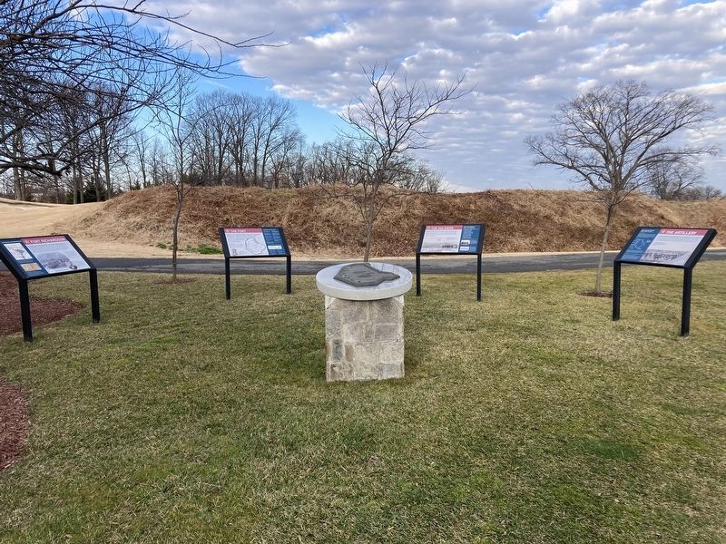
On Army Navy Country Club Access Road 0.4 miles east of South Edgewood Steret, on the left when traveling east.
A critical part of the Civil War Defenses of Washington, D.C., Fort Richardson defended the high ground that Confederate artillery could have commanded to shell the nation's capital across the Potomac River. Located on a plateau overlooking . . . — — Map (db m294923) HM
On Army Navy Country Club Access Road 0.4 miles east of South Edgewood Street, on the left when traveling east.
While stationed at Fort Richardson, troops saw little action, but they continually trained for combat and maintained their weapons. Regiments that saw duty at the fort also deployed to southern campaigns. Life on the field of battle was . . . — — Map (db m294926) HM
On Army Navy Country Club Access Road 0.4 miles east of South Edgewood Street, on the left.
Fort Richardson was designed with emplacements for nine guns. The armaments of the Defenses of Washington were chosen for their range of fire and positioned to ensure that the line of defenses had no gaps. By 1865, Fort Richardson had placed . . . — — Map (db m294929) HM