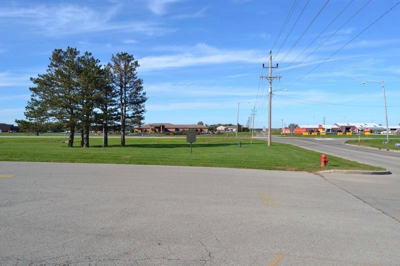
On County Road 1200E 0.1 miles south of U.S. 50, on the right when traveling south.
Near this site was the home of Brevet Major General Lewis B. Parsons, who lived in Flora from 1875 until his death in 1907. Born in New York in 1818, Parsons graduated from Harvard Law School and began practice in Alton, Illinois. In 1854 he moved . . . — — Map (db m98934) HM
On Ohio River Scenic Byway (U.S. 45), on the right when traveling south.
In 1673 the areas of the Mississippi and Illinois Rivers were explored by Frenchmen Louis Jolliet and Father Jacques Marquette. Their voyages resulted in French claims on the area until 1763 when, by the Treaty of Paris, France ceded the land to . . . — — Map (db m146313) HM
On North Campbell Street at Northeast 69th Street, on the right when traveling south on North Campbell Street.
The initial inhabitants of Gladstone were Native Americans of the Missouri Osage, Blackhawk, Fox and Sac tribes. The first settlers came from Kentucky, Tennessee, Virginia and South Carolina. In the 1880's, W. E. Winner bought three 80-acre farms, . . . — — Map (db m252139) HM
On North Meridian Street at East Commerce Street, on the right when traveling north on North Meridian Street.
Front
In 1940 singer-guitarist Booker “Bukka” White, who lived in Aberdeen during the 1920s and ‘30s, recorded the blues classic “Aberdeen Mississippi Blues.” Twenty-three years later the song’s title enabled blues researchers to . . . — — Map (db m102609) HM
On East Main Street just east of North Washington Street (Missouri Highway 13).
The fertile Shoal Creek Valley, Kingston was laid out in 1843 to replace Far West as seat of Caldwell County. Organized in 1836, the county was to be for Latter Day Saints (Mormons), ejected from Jackson County in 1833 and asked to leave Clay . . . — — Map (db m144715) HM
On East National Avenue (U.S. 40) west of Forest Avenue (Indiana Route 59), on the left when traveling east.
Brazil, just like her sister US 40 communities, prospered due to its location on the National Road. With the 1926 designation of the National Road as US 40, Brazil instantly became linked with the rest of the nation. Almost every raw material, . . . — — Map (db m233271) HM
On Southview Drive south of Seven Hills Road, on the left when traveling south.
The Missouri Depot, a Federal post more commonly known as Liberty Arsenal, sat on the bluffs a quarter-mile southwest of this marker and above the nearby Liberty Landing to the southeast. The arsenal, built in 1838, received munitions and supplies . . . — — Map (db m252181) HM
On U.S. 82 at State Highway 510 Spur, on the right when traveling east on U.S. 82.
Formed from Cooke County
Created December 24, 1857
Organized August 6, 1860
Disorganized in 1862
because of Indian raids
Reorganized August 4, 1873
Henrietta, headquarters for
buffalo hunters until 1878
The first Hereford . . . — — Map (db m96691) HM
Thin black lines indicate changes in relevance. Between each pair of lines entries are ordered geographically but all have the same relevance.
* Inflectional forms of words are their plurals, singulars, and possessives as well as gramatical tenses and similar variations.