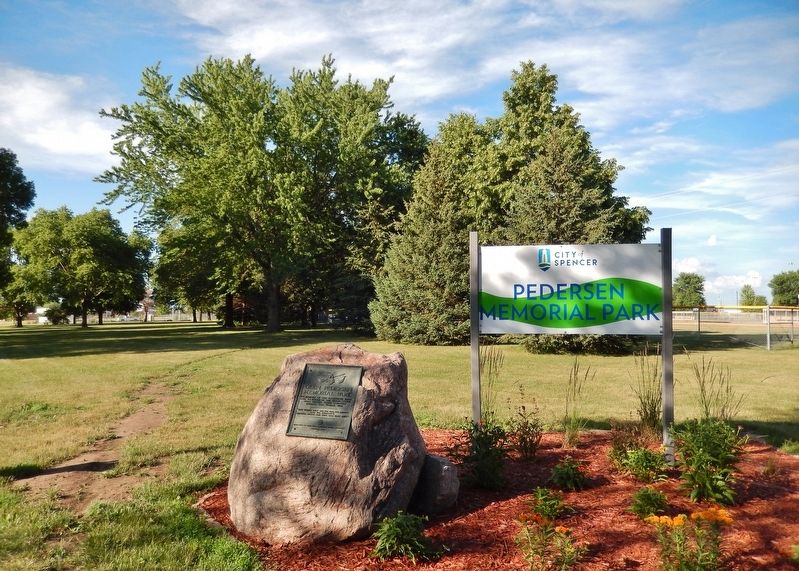
On Grand Avenue (U.S. 18/71) just south of East 8th Street, on the right when traveling north.
Who for thirty-five years played Santa Claus to the needy children of this community. May his untiring efforts, his sacrifices and generosity ever be an inspiration to all to share their blessings with those less fortunate. — — Map (db m238883) HM
On East Main Street just east of North Washington Street (Missouri Highway 13).
The fertile Shoal Creek Valley, Kingston was laid out in 1843 to replace Far West as seat of Caldwell County. Organized in 1836, the county was to be for Latter Day Saints (Mormons), ejected from Jackson County in 1833 and asked to leave Clay . . . — — Map (db m144715) HM
On Southview Drive at Ruth Ewing Road, on the left when traveling south on Southview Drive.
In September of 1861, Liberty and Clay County briefly became a focal point during the American Civil War in Missouri. Near this site, the Battle of Liberty was a decisive victory achieved by the pro-Southern Missouri State Guard against Union . . . — — Map (db m245595) HM
On S. Harrison St. 0.2 miles west of W. Jefferson, in the median.
Lewis & Clark Campsite
The Missouri River has carved many channels in its history. One such channel curved through the western edge of Elk Point creating the area now known as Heritage Park.
On August 22, 1804, Captain William Clark . . . — — Map (db m100821) HM
Thin black lines indicate changes in relevance. Between each pair of lines entries are ordered geographically but all have the same relevance.
* Inflectional forms of words are their plurals, singulars, and possessives as well as gramatical tenses and similar variations.