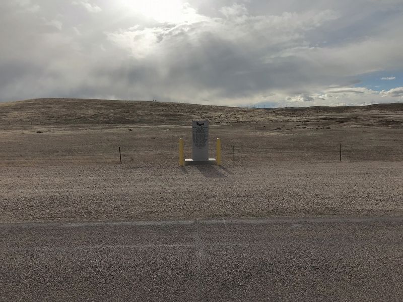
On Ross Road (at milepost 6), 6 miles north of Hwy 93, on the right when traveling south.
Came to rest near hear at 2140 Hrs. Feb. 25 1943 while returning to the Casper Army Air Field. The entire Machala Crew gave the last full measure.
2nd LT. Louis E. Machala (Pilot) •
2nd LT. Ned J. Devries (Copilot) •
2nd LT. Harry N. Cannon . . . — — Map (db m208630) HM WM
On Cold Springs Road (State Highway 91) near Bedtick Road (County Route 8), on the right when traveling west.
This Monument
marks the junction
of the Oregon Trail
and road to Old Ft.
Fetterman nine
miles north of this
spot. Established
July 10, 1867. Abandoned
May 25, 1882. — — Map (db m92111) HM
On Natural Bridge Road (County Route 13) near Interstate 25, on the right when traveling south.
Ages ago Wyoming was covered by seas. Through a period of millions of years the land gradually rose, leaving the present landscape of plains, mountains and rolling hills. As the land emerged, erosion began and through eons of time, formed Ayres . . . — — Map (db m314282) HM
On East 5th Street at South Elm Street, on the left when traveling east on East 5th Street.
Niobrara County was created from the former territory of Converse County by an act of the Wyoming Legislature on February 14, 1911 and was organized January 6, 1913. Lusk was designated as the county seat. Both the creation of the county, and the . . . — — Map (db m203249) HM
On Brownfield Road (County Route 61) near West Center Street (Business Interstate 25), on the left when traveling south.
The Douglas Railroad Interpretive Center is located on the site of the historic Chicago and Northwestern Railroad Depot. The Interpretive Center was developed by the City of Douglas and dedicated in August 1995 as a legacy to the major industries . . . — — Map (db m92163) HM
On Natural Bridge Road near I 25, on the right when traveling south.
Ayres Natural Bridge Park is located just five miles south of
your present location. The Park is home to Ayres Natural Bridge-
one of Wyoming's earliest historic tourist destinations. Despite the
difficulty of accessing the natural bridge, travel . . . — — Map (db m314283) HM
Thin black lines indicate changes in relevance. Between each pair of lines entries are ordered geographically but all have the same relevance.
* Inflectional forms of words are their plurals, singulars, and possessives as well as gramatical tenses and similar variations.