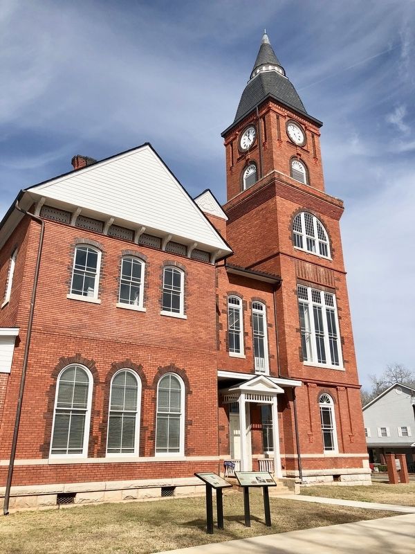
On Pine Street at Court Street, on the right when traveling west on Pine Street.
Early Randolph County
The area that is now Randolph County lies within the vast territory in Georgia and Alabama once claimed by the Creeks. In the late 1700s and early 1800s several small Creek towns were scattered throughout the area, . . . — — Map (db m113738) HM
On Court Square (State Highway 28) south of Washington Street (State Highway 203), on the right when traveling north.
Abbeville's 6th courthouse - designed in beaux arts classical style by Edwards & Walter of Atlanta - dedicated in 1908 with City Hall/Opera House. (Two buildings indirectly financed by profits from Abbeville Dispensary, only one still operating . . . — — Map (db m14870) HM
On South Railroad Avenue west of South 8th Street, on the left when traveling west.
Opelika A Railroad Town. Opelika's original name was Opelikan when the town was founded in the 1830s. In 1850, the name was respelled as Opelika. In 1851, the Montgomery & West Point Railroad Company extended its Montgomery to Opelika rail . . . — — Map (db m184077) HM
On Coast Line Drive just east of Janes Memorial Scenic Drive.
Georgia native, adopted son of Florida, U.S. Army Air Corps veteran, U. of Miami graduate, attorney, founder of the Florida Nature Conservancy, member of Tropical Audubon, South Florida Orchid Society and self-trained field biologist, he . . . — — Map (db m169197) HM
On Longview Street at Jackson Street, on the right when traveling north on Longview Street.
Russell County was one of several counties created by the Alabama legislature in December, 1832 from land that had been part of the Creeks' ancestral homeland. The community of Girard (modern Phenix City) along the Chattahoochee River became the . . . — — Map (db m111609) HM
On Murphy Drive 0.2 miles east of Wrights Mill Road (County Road 33), on the right when traveling east.
Side 1
Under President Franklin D. Roosevelt's New Deal (1933-1942), the Civilian Conservation Corps (CCC) was established to provide work for single young men. The CCC's Company 4448, Camp Alabama SP-12, began work in September 1935 to . . . — — Map (db m85164) HM
On U.S. 280 at County Road 633, on the right when traveling east on U.S. 280.
Among the earliest settlers were the families of Henry Crowder, Dr. D. W. Floyd, Charles Nelms, W. W. Burt, George Heard, John Askew, Moses Pruitt, and Dr. McCoy. Rev. F. L. Cherry, leading historian of East Alabama’s first 50 years, wrote that . . . — — Map (db m39832) HM
On Long Street 0.1 miles north of Auburn Street, on the left when traveling north.
Side 1
The City of Opelika purchased 19.6 acres of land to expand Rosemere Cemetery. This rectangular area is the newest portion. There are 193 blocks with varying numbers of sections and spaces in each. 467 grave markers have death dates . . . — — Map (db m75140) HM
Near Palmyra Street (Illinois Route 2) at Palmyra Road, on the right when traveling west.
In memory to these men who gave the ultimate sacrifice. They served their country in a land far away so others could enjoy the freedom we have. We will forever honor their service and dedication.
Leroy Clyde Schaneberg, Ashton IL, . . . — — Map (db m239097) WM
Thin black lines indicate changes in relevance. Between each pair of lines entries are ordered geographically but all have the same relevance.
* Inflectional forms of words are their plurals, singulars, and possessives as well as gramatical tenses and similar variations.