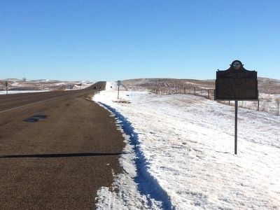
On Route 10 1 mile west of 450th Ave., on the right when traveling east.
The last county organized east of the Missouri, on May 2, 1885; it had been in Sheyenne County 1862; a gigantic Hanson 1870; coincident with Stone 1873; the north half of Day 1879 and was created by the 1885 Legislature and named for Governor . . . — — Map (db m91617) HM
On 119th Street (State Highway 10) 1.6 miles east of BIA Road (Road 3), on the right when traveling east.
You are entering
Roberts County
South Dakota
Long the home of Sisseton, Wahpeton & Cuthead Yanktonaise Sioux, it became part of Deuel & Cheyenne Counties in 1862; Deuel extending N to 46th parallel (4 miles N) in 1872. The Reservation . . . — — Map (db m185145) HM
On Main Street south of 2nd Street, on the right when traveling south.
Frank Leroy Farrar was born in Britton on April 2, 1929, son of third-generation Marshall County homesteaders. He was an Eagle Scout and Boys State governor and graduated from Britton High School. Farrar then earned business and law degrees from the . . . — — Map (db m197801) HM
Thin black lines indicate changes in relevance. Between each pair of lines entries are ordered geographically but all have the same relevance.
* Inflectional forms of words are their plurals, singulars, and possessives as well as gramatical tenses and similar variations.