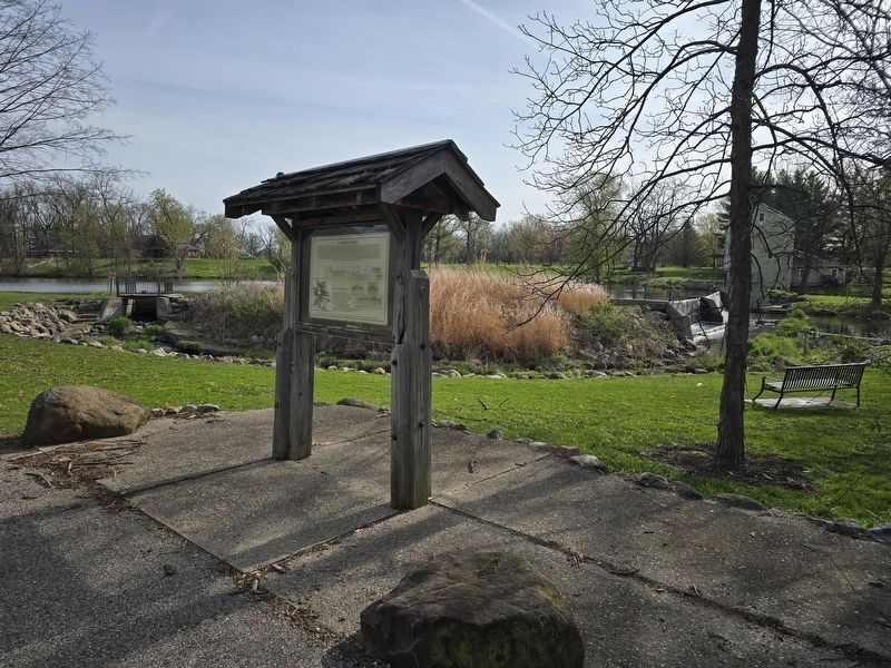
On County Road H east of West Smith Road, on the left when traveling east.
This low velocity Fish Passageway has been designed by Friends of Beckman Mill to provide fish access around Beckman millpond. This dam is located in the west branch of Raccoon Creek water shed approximately one mile north of the Illinois/Wisconsin . . . — — Map (db m271633) HM
On Lord Street (U.S. 51) south of West Crystal Drive, on the left when traveling south.
Wisconsin's first commercial tobacco was raised in Dane and Rock counties by cousins Orrin and Ralph Pomeroy in 1854. Grown as a cash crop to supplement dairy income, Wisconsin tobacco is used as a binder in making cigars. Because of the large . . . — — Map (db m248953) HM
On Campus Lane north of Edgerton Road, on the left when traveling north.
The Sheepskin School was build on Wisconsin Highway 59 just west of Edgerton in District 6, Fulton Township, Rock County. One theory for its name is from sheep "skins" drying on a nearby fence. The 1894-95 Attendance Book lists 31 students, but . . . — — Map (db m167644) HM
Near South Bergen Road north of East State Line Road.
On this spot and in a small frame church known as the Norwegian Lutheran Church of Clinton, Rock County, Wisconsin, gathered on the Fifth Day of June, 1860, the following named ministers of the gospel:
L. P. Esbuörn · T. N. Hasselquist
P. . . . — — Map (db m26317) HM
On County Road 257 0.4 miles east of 155th Avenue, on the left when traveling east.
In 1854 Ole and Guri Sorbel immigrated to Rock County Wisconsin from Hallingdal, Norway. In 1856 they settled to your right on the northwest bank of Lake Linden. On September 21, 1876, Bob, Cole and Jim Younger and Charlie Pitts received breakfast . . . — — Map (db m68073) HM
On North Phillips Avenue north of West 5th Street, on the right when traveling north.
(panel 1)
”If you didn't drink whiskey, play cards, use your fists or otherwise intimidate, you didn't belong in the arena with Frank Pettigrew… a man who came to the Dakotas with nothing but desire, talent and ambition. He pitched his . . . — — Map (db m124226) HM
On 580th Avenue 0.5 miles north of County Highway 23, on the right when traveling north.
The first pioneers to settle in this area arrived by July, 1856, three months after their oxen-drawn prairie schooners left Rock County, Wisconsin. They were the families of Henrik H. Thoen, Ole H. Ness, Nels H. Colberg and bachelors Ole H. . . . — — Map (db m92468) HM
On East Main Street (U.S. 51) east of Forrest Street, on the right when traveling west.
The greater Stoughton area was hunted and trapped by the Ho-Chunk Nation and other Native American tribes through the 1700's. Surveyed in 1833, the Stoughton area was described as being populated with timber and carpeted with prairie along the . . . — — Map (db m274503) HM
Thin black lines indicate changes in relevance. Between each pair of lines entries are ordered geographically but all have the same relevance.
* Inflectional forms of words are their plurals, singulars, and possessives as well as gramatical tenses and similar variations.