218 entries match your criteria. Entries 201 through 218 are listed.⊲ Previous 100
North Carolina Civil War Trails Historical Markers
By Bernard Fisher, June 28, 2012
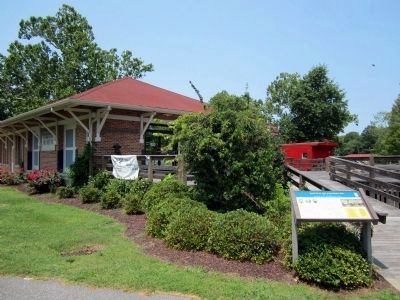
Port O’ Plymouth Roanoke River Museum
| 201 ► North Carolina, Washington County, Plymouth — Battle of Plymouth — Strategic Port & Transportation Center — |
| Near East Water Street at Madison Street, on the left when traveling east. | |||
| 202 ► North Carolina, Washington County, Plymouth — CSS Albemarle — Ironclad Gunboat — |
| Near East Water Street at Madison Street, on the left when traveling east. | |||
| 203 ► North Carolina, Washington County, Plymouth — Cushing’s Torpedo — Sinking of CSS Albemarle — |
| Near East Water Street at Adams Street, on the left when traveling east. | |||
| 204 ► North Carolina, Washington County, Plymouth — Fort Compher Battlefield — The Breakthrough — |
| On East Main Street at Rankin Lane, on the right when traveling west on East Main Street. | |||
| 205 ► North Carolina, Watauga County, Sugar Grove — Camp Mast — Watauga County Home Guard — |
| On Dale Adams Road north of Georges Gap Road (Route 1213), on the left when traveling north. | |||
| 206 ► North Carolina, Wayne County, Goldsboro — Battle of Goldsboro Bridge — End of Foster’s Raid — Foster’s Raid — |
| On Old Mt. Olive Highway just south of U.S. 117, on the left when traveling south. | |||
| 207 ► North Carolina, Wayne County, Goldsboro — Goldsboro — Major Rail Center — |
| On William Street near Mulberry Street, on the right when traveling east. | |||
| 208 ► North Carolina, Wayne County, Mount Olive — Mount Olive — Garrard's Raid — Foster's Raid — |
| On Northwest Center Street (County Route 1938) at West College Street, on the left when traveling north on Northwest Center Street. | |||
| 209 ► North Carolina, Wayne County, Seven Springs — Engagement at Whitehall — A Sharp Action — Foster's Raid — |
| On West River Street at New Street, on the right when traveling west on West River Street. | |||
| 210 ► North Carolina, Wilkes County, Wilkesboro — Fort Hamby — Deserters and Desperados — |
| On Recreation Road, on the right when traveling east. | |||
| 211 ► North Carolina, Wilson County, Wilson — Confederate Military Hospital No. 2 — From Female Academy to Hospital — North Carolina Civil War Trails — |
| On Goldsboro Street East at Lee Street East on Goldsboro Street East. | |||
| 212 ► North Carolina, Yadkin County, Hamptonville — Windsor's Crossroads — Stoneman's Raiders Pass By — Stoneman's Raid — |
| On Windsor Road at Buck Shoals Road, on the right on Windsor Road. | |||
| 213 ► North Carolina, Yadkin County, Hunstville — Raiding Huntsville — Feeding and Pillaging — Stoneman's Raid — |
| On Courtney-Hunstville Road at Farmington Road, on the left on Courtney-Hunstville Road. | |||
| 214 ► North Carolina, Yadkin County, Jonesville — Jonesville — The Silver-Dollar Bell — Stoneman's Raid — |
| On Winston Road (State Highway 67) north of Fall Creek Church Road, on the right when traveling west. | |||
| 215 ► North Carolina, Yadkin County, Richmond Hill — Richmond Hill — "Though the Heavens Fall" — |
| 216 ► North Carolina, Yadkin County, Yadkinville — Bond Schoolhouse — Shootout in the Snow — |
| On Deep Creek Church Road, on the right when traveling east. | |||
| 217 ► North Carolina, Yadkin County, Yadkinville — Yadkinville — Conflicting Loyalties — |
| On Van Buren Street at Hemlock Avenue, on the right when traveling north on Van Buren Street. | |||
| 218 ► North Carolina, Yancey County, Burnsville — Burnsville — "The county is gone up" — |
| On West Main Street. | |||
218 entries matched your criteria. Entries 201 through 218 are listed above. ⊲ Previous 100