6 entries match your criteria.
Related Historical Markers
The North Carolina Bartram Trail & Blue Ridge Heritage Trail
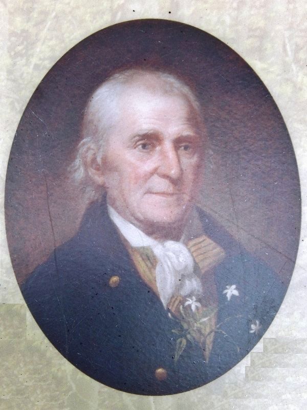
Courtesy of Independence National Historical Park
Marker detail: William Bartram portrait by Charles Willson Peale, from life, c. 1808
SHOWN IN SOURCE-SPECIFIED ORDER
| On Phillips Street at West Main Street (Business U.S. 441), on the right when traveling north on Phillips Street. |
| On West Main Street (Business U.S. 441) at Iotla St (Local Highway 1323), on the right when traveling west on West Main Street. |
| On Blue Ridge Parkway (at milepost 236.9), on the right when traveling south. |
| Near Blue Ridge Parkway (at milepost 294), 2 miles west of U.S. 221, on the left when traveling south. |
| On Blue Ridge Parkway (at milepost 411), 0.9 miles north of U.S. 276, on the right when traveling north. |
| On Phillips Street at Stewart Street, on the right when traveling south on Phillips Street. |
Nov. 11, 2026
