3 entries match your criteria.
Related Historical Markers
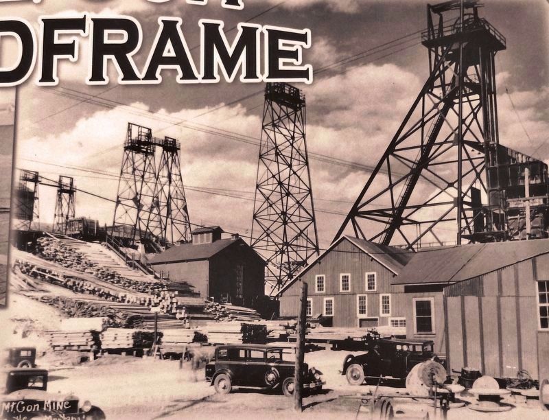
Marker detail: Mountain Consolidated Headframe, ca. 1935.
SHOWN IN SOURCE-SPECIFIED ORDER
1 ► Montana, Silver Bow County, Butte, Centerville — The Con Headframe —  |
| Near Little Minah Street 0.2 miles east of North Main Street when traveling east. | |||
| 2 ► Montana, Silver Bow County, Butte — The Con — (Mountain Consolidated) — |
| Near Wells Street just south of East Center Street. | |||
| 3 ► Montana, Silver Bow County, Butte, Centerville — The Con Hoist House — |
| Near Wells Street just south of East Center Street. | |||