THE HISTORICAL
MARKER DATABASE
“Bite-Size Bits of Local, National, and Global History”


4 entries match your criteria.  


Related Historical Markers

Point Iroquois Light Station, Michigan
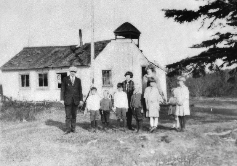
 
Marker detail: One-room schoolhouse at Point Iroquois, early 1900s
SHOWN IN SOURCE-SPECIFIED ORDER
1 ► Michigan, Chippewa County, Brimley — Point Iroquois Light Station — Local Ties Made it "A Home, Not Just a Station" —
Near West Lakeshore Drive (Iroquois Road) 0.7 miles east of South Monocle Lake Road, on the left when traveling east.
2 ► Michigan, Chippewa County, Brimley — Glacial Gifts — Coastal Landscape Formed by Ice, Water and Wind —
Near West Lakeshore Drive (Iroquois Road) 0.7 miles east of South Monocle Lake Road, on the left when traveling east.
3 ► Michigan, Chippewa County, Brimley — Anishinabeg — Original People of Whitefish Bay —
Near West Lakeshore Drive (Iroquois Road) 0.7 miles east of South Monocle Lake Road, on the left when traveling east.
4 ► Michigan, Chippewa County, Brimley — Place of the Iroquois Bones — Point Named After Decisive Battle Fought in 1662 —
Near West Lakeshore Drive (Iroquois Road) 0.7 miles east of South Monocle Lake Road, on the left when traveling east.


CeraNet Cloud Computing sponsors the Historical Marker Database.
This website earns income from purchases you make after using our links to Amazon.com. We appreciate your support.
Paid Advertisement
Nov. 11, 2026
