2 entries match your criteria.
Related Historical Markers
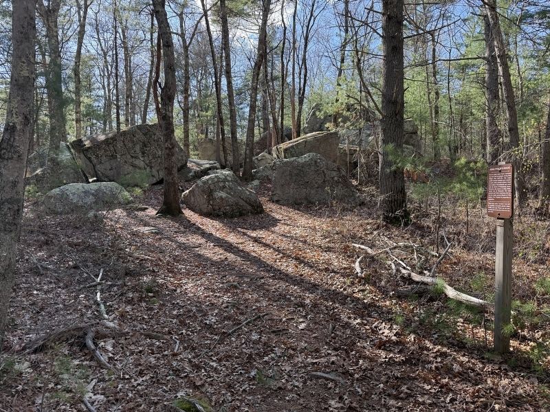
By G.W.Bartlett, April 23, 2026
King Philip’s Rock Marker (wide)
SHOWN IN SOURCE-SPECIFIED ORDER
1 ► Massachusetts, Norfolk County, Sharon, King Philip’s Rock Trails Conservation Area — King Philip’s Rock —  |
| Near Mansfield Road east of East Foxboro Road, on the left when traveling east. | |||
| 2 ► Rhode Island, Bristol County, Bristol — Mount Hope — Sacred Land of the Pokanokets — A Sowams Heritage Area Site — |
| Near Metacom Avenue (Rhode Island Route 136) 0.1 miles south of Mount Hope Avenue, on the right when traveling north. | |||