King Philip’s Rock Trails Conservation Area in Sharon in Norfolk County, Massachusetts — The American Northeast (New England)
King Philip’s Rock
Photographed by G.W.Bartlett, April 23, 2026
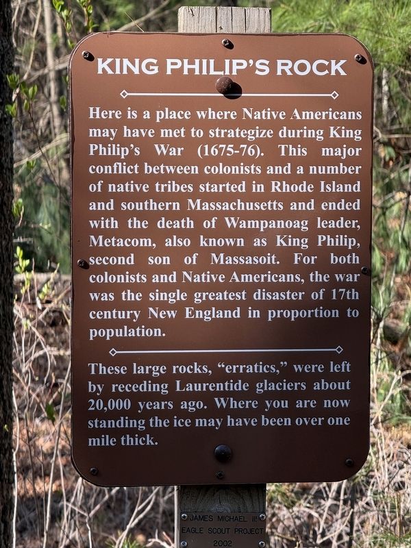
1. King Philip’s Rock Marker
Here is a place where Native Americans may have met to strategize during King Philip's War (1675-76). This major conflict between colonists and a number of native tribes started in Rhode Island and southern Massachusetts and ended with the death of Wampanoag leader, Metacom, also known as King Philip, second son of Massasoit. For both colonists and Native Americans, the war was the single greatest disaster of the 17th century New England in proportion to population.
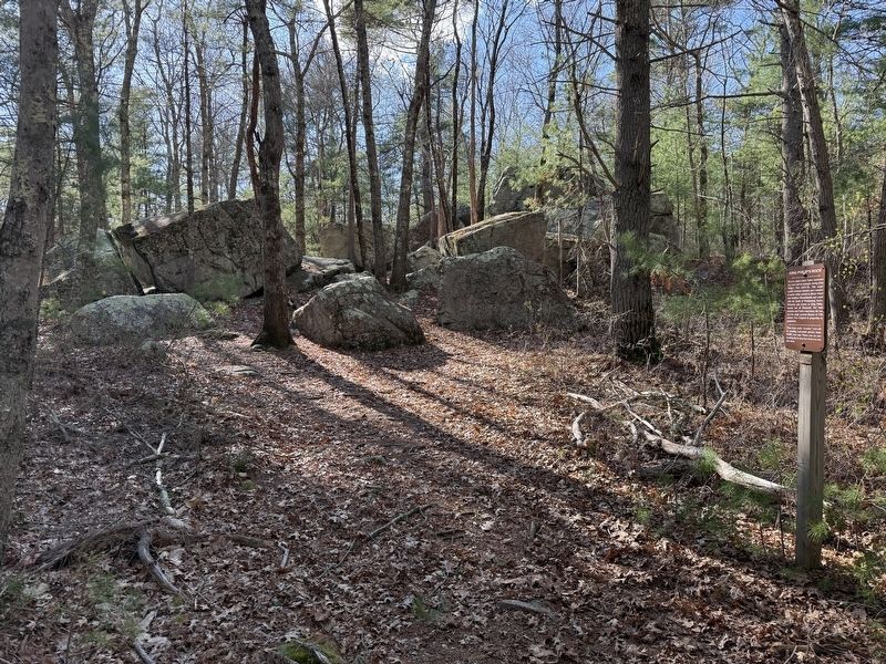
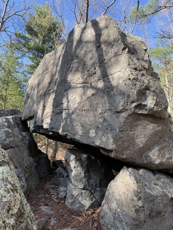
These large rocks, "erratics," were left by receding Laurentide glaciers about 20,000 years ago. Where you are now standing the ice may have been over one mile thick.
Topics and series. This memorial is listed in these topic lists: Colonial Era • Indigenous Peoples and Communities • Wars, US Indian. In addition, it is included in the King Philip's War 1675-1676 series list. A significant historical year for this entry is 1676.
Location. 42° 4.639′ N, 71° 10.941′ W. Memorial is in Sharon, Massachusetts, in Norfolk County. It is in the King Philip’s Rock Trails Conservation Area. It can be reached from Mansfield Road east of East Foxboro Road, on the
this page online

Regionally, this memorial is in Greater Boston. It is also in the American Northeast, in New England, and on the Eastern Seaboard. Globally, it is in the North Atlantic Region, North America, the Western Hemisphere, the Western World, and the Anglosphere. Historically, it finds itself in what was once one of the original Thirteen Colonies.
Other nearby markers. At least 8 other markers are within 4 miles of this marker, measured as the crow flies: King Philip’s Cave (approx. 0.3 miles away); Borderland (approx. 1.4 miles away); East Foxborough (approx. 1½ miles away); Union Straw Works / Birth of the Straw Hat Industry (approx. 3½ miles away); Paineburgh-Foxvale (approx. 3½ miles away); The Lodge at Foxborough (approx. 3.6 miles away); Entering Baker Street Historic District (approx. 3.6 miles away); Memorial Hall (approx. 3.6 miles away). Touch for a list and map
Photographed by G.W.Bartlett, April 23, 2026
2. King Philip’s Rock Marker (wide)
More about this memorial. See trail map at link to Sharon Friend's of Conservation for directions to the Rock.
Related markers. Click here for a list of markers that are related to this marker.
Also see . . . King Philip's Rock Trail.
Sharon Friend's of Conservation: King Philip’s Rock Trail begins on Mansfield Street and goes northwest to King Philip’s Rock. The trails extend from Sharon into Foxborough conservation land and offer easy or rough going to suit everyone’s whims.(Submitted on April 24, 2026, by G.W.Bartlett of Hingham, Massachusetts.)
Photographed by G.W.Bartlett, April 23, 2026
3. King Philip’s Rock
Photographed by G.W.Bartlett, April 23, 2026
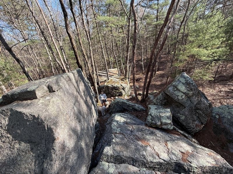
4. A view from King Philip’s Rock
Credits. This page was last revised on May 12, 2026. It was originally submitted on April 24, 2026, by G.W.Bartlett of Hingham, Massachusetts. This page has been viewed 41 times since then. Photos: 1, 2, 3, 4. submitted on April 24, 2026, by G.W.Bartlett of Hingham, Massachusetts. • Devry Becker Jones was the editor who published this page.
