4 entries match your criteria.
Related Historical Markers
By Ralph Cahoon
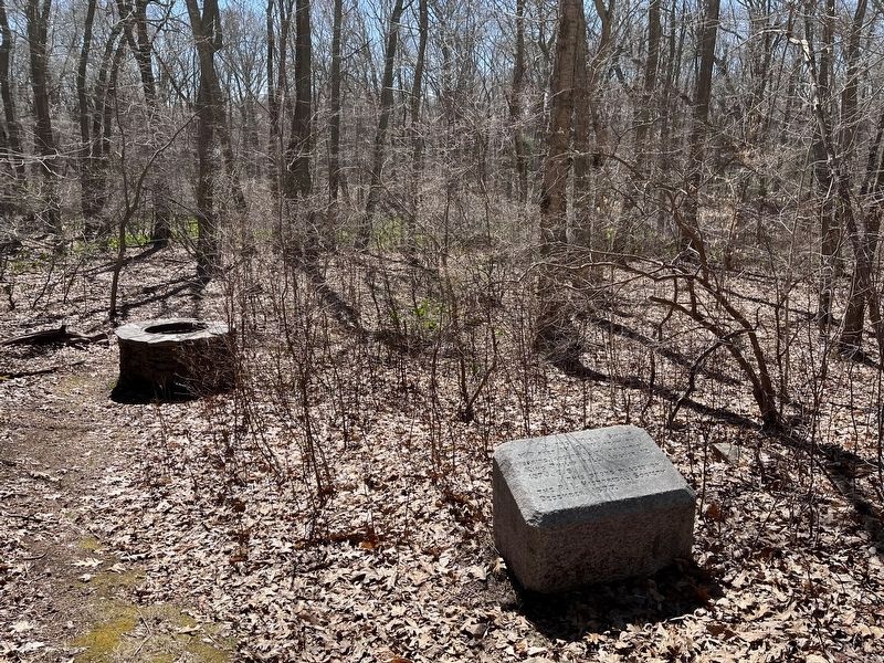
In the Miery Swamp Marker
SHOWN IN SOURCE-SPECIFIED ORDER
1 ► Rhode Island, Bristol County, Bristol — In the Miery Swamp — King Philip Fell —  |
| Near Tower Street (at milepost 0.7), 0.2 miles south of Tower Street. | |||
| 2 ► Rhode Island, Bristol County, Warren — Early Warren and the start of King Philip's War — |
| On Child Street (Rhode Island Route 103) at Hugh Cole Road, on the right when traveling east on Child Street. | |||
| 3 ► Rhode Island, Bristol County, Warren — Early Warren and the start of King Philip's War — |
| On Child Street (Rhode Island Route 103) at Hugh Cole Road, on the right when traveling east on Child Street. | |||
| 4 ► Massachusetts, Bristol County, Dighton — Dighton Council Oak — Meeting Place of the Wampanoag Indians — |
| Near 1996 Elm Street. | |||