11 entries match your criteria.
Related Historical Markers This list shows various locations of Wayne's March in that started in York, Pennsylvania into Virginia to meet up with General Lafayette in the actions leading to the British surrender at the Battle of Yorktown.
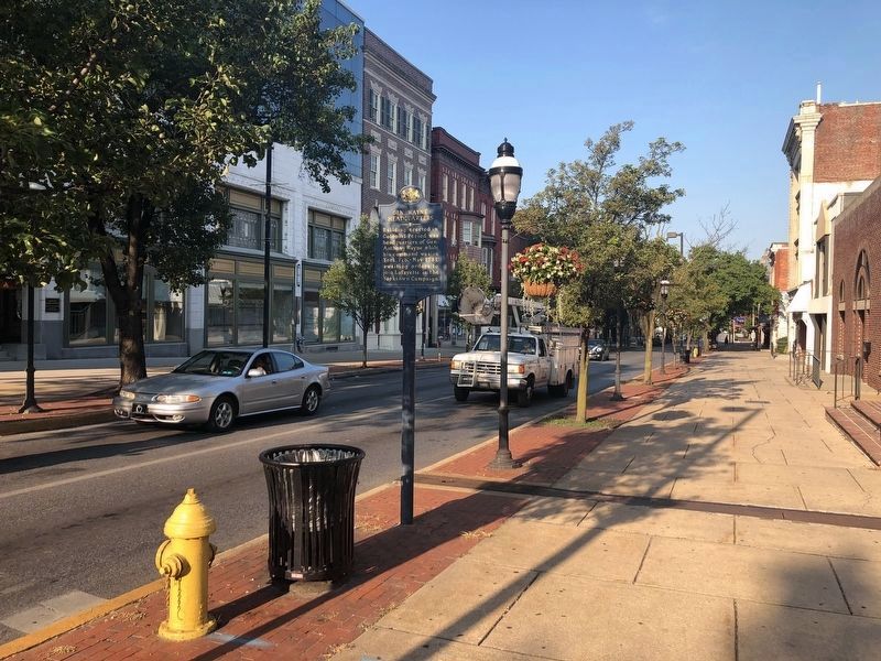
By Devry Becker Jones (CC0), July 3, 2020
Gen. Wayne Headquarters Marker
SHOWN IN SOURCE-SPECIFIED ORDER
On West Market Street (Pennsylvania Route 462) at Beaver Street, on the left when traveling east on West Market Street.
On North Beaver Street just north of West Market Street ( Route 462), on the left when traveling north.
On South Queen Street at East King Street, on the right when traveling north on South Queen Street.
On Francis Scott Key Highway (Route 194) 0.3 miles north of Bruceville Road, on the right when traveling south.
On Monocacy Boulevard south of Laurel Wood Way, on the right when traveling south.
On James Monroe Highway (U.S. 15) 0.2 miles south of Stumptown Road and Lucketts Road, on the left when traveling south. Reported permanently removed.
On Louisa Road (Virginia Route 22) 0.2 miles east of Cobham Station Lane ( Route 640), on the right when traveling north. Reported missing.
On Monocacy Boulevard south of Laurel Wood Way, on the right when traveling south.
On James Monroe Highway (U.S. 15) 0.2 miles Spinks Ferry Road, on the right when traveling north.
On Raccoon Ford Road (Virginia Route 617) 0.5 miles south of Algonquin Trail ( Route 647), on the left when traveling south.
On Francis Scott Key Highway (Route 194) 0.3 miles north of Bruceville Road, on the right when traveling south.
︽
Nov. 11, 2026