9 entries match your criteria.
Related Historical Markers
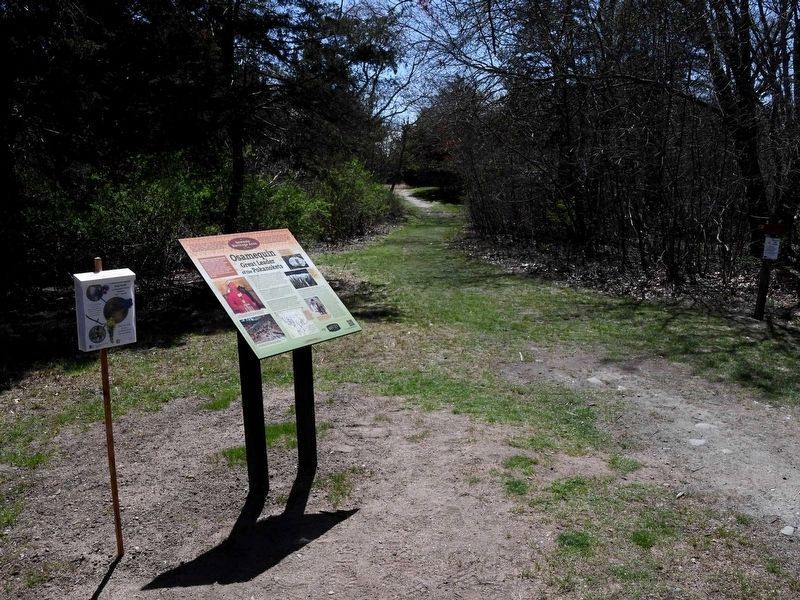
By David Weed, April 20, 2023
Osamequin Marker
SHOWN IN SOURCE-SPECIFIED ORDER
| On Wampanoag Trail (Rhode Island Route 114) at Kyle Circle, on the right when traveling north on Wampanoag Trail. |
| On Water Street at North Street, on the left when traveling north on Water Street. |
| On Sea Street at Willow Avenue on Sea Street. |
| On Bradley Road 0.1 miles south of Baylee Road, on the left when traveling north. |
| On West Main Road (Rhode Island Route 77) south of Londonderry Lane, on the right when traveling south. |
| Near Metacom Avenue (Rhode Island Route 136) 0.1 miles south of Mount Hope Avenue, on the right when traveling north. |
| On Ocean Road (Rhode Island Route 1A) at Beach Street, on the left when traveling north on Ocean Road. |
| Near South County Trail (Rhode Island Route 2) 1.4 miles south of Kingstown Road ( Route 132), on the left when traveling west. |
| Near Tower Street (at milepost 0.7), 0.2 miles south of Tower Street. |
Nov. 11, 2026
