THE HISTORICAL
MARKER DATABASE
“Bite-Size Bits of Local, National, and Global History”


5 entries match your criteria.  


Related Historical Markers

To better understand the relationship, study each marker in the order shown.
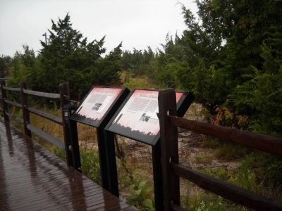
 
By Bill Coughlin, August 18, 2010
Cape May Markers
SHOWN IN SOURCE-SPECIFIED ORDER
1 ► New Jersey, Cape May County, Cape May, Lower Township — History of Coastal Defenses —
On Sunset Blvd. (County Route 606), on the left when traveling west.
2 ► New Jersey, Cape May County, Cape May, Lower Township — Fire Control Tower No. 23 —
On Sunset Blvd. (County Route 606), on the left when traveling west.
3 ► New Jersey, Cape May County, Cape May, Lower Township — Construction of Fire Control Tower No. 23 —
On Sunset Boulevard (County Route 606), on the left when traveling west.
4 ► New Jersey, Cape May County, Cape May, Lower Township — The Top of the Fire Tower —
On Sunset Blvd. (County Route 606), on the left when traveling west.
5 ► New Jersey, Cape May County, Cape May, Lower Township — The abrupt end of Fort Miles —
On Sunset Boulevard (County Route 606), on the left when traveling west.


CeraNet Cloud Computing sponsors the Historical Marker Database.
This website earns income from purchases you make after using our links to Amazon.com. We appreciate your support.
Paid Advertisement
Nov. 11, 2026
