THE HISTORICAL
MARKER DATABASE
“Bite-Size Bits of Local, National, and Global History”


5 entries match your criteria.  


Related Historical Markers

Battle of Hatcher's Run by markers.
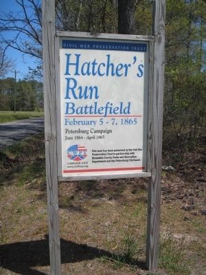
 
By Bill Coughlin, April 24, 2007
Hatcher's Run Battlefield
SHOWN IN SOURCE-SPECIFIED ORDER
1 ► Virginia, Dinwiddie County, Burgess — S-63 — Battle of Hatcher’s Run — 5-7 February 1865 —
On Dabney Mill Road (Virginia Route 613), on the right when traveling east.
2 ► Virginia, Dinwiddie County, Petersburg — The Battle of Hatcher’s Run — To Cut the Remaining Supply Lines, February 5-7, 1865
On Dabney Mill Road (Virginia Route 613), on the right when traveling east. Reported unreadable.
3 ► Virginia, Dinwiddie County, Burgess — The Battle of Hatcher’s Run — Fighting Around Dabney’s Sawmill, February 6-7, 1865
On Dabney Mill Road (Virginia Route 613) east of Steers Road, on the right when traveling east. Reported unreadable.
4 ► Virginia, Dinwiddie County, Petersburg — S-50 — Hatcher's Run —
On Boydton Plank Road (U.S. 1) 0.3 miles north of White Oak Road, on the right when traveling north.
5 ► Virginia, Dinwiddie County, Burgess — Brigadier General John Pegram —
On Dabney Mill Road (Virginia Route 613), on the right when traveling east.


CeraNet Cloud Computing sponsors the Historical Marker Database.
This website earns income from purchases you make after using our links to Amazon.com. We appreciate your support.
Paid Advertisement
Nov. 11, 2026
