6 entries match your criteria.
Historical Markers and War Memorials in Tha Ma Kham, Kanchanaburi
By Jj Karwacki, August 4, 2023
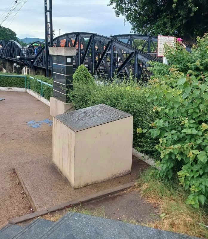
Burma-Thai Railway Marker
| On River Kwai Road, on the right when traveling west. |
| On 3228 Road (Bannua Road), 2.1 kilometers south of Sangchuto Road (State Route 323). |
| On River Kwai Road west of Myanmar Road, on the left when traveling west. |
| On New Zealand Aly, 0.1 kilometers north of River Kwai Road, on the left when traveling north. Reported missing. |
| On New Zealand Alley north of River Kwai Road, on the left when traveling north. |
| On River Kwai Road, on the right when traveling west. |
Jun. 16, 2024