3 entries match your criteria.
Related Historical Markers
Tamiami Trail and the Everglades
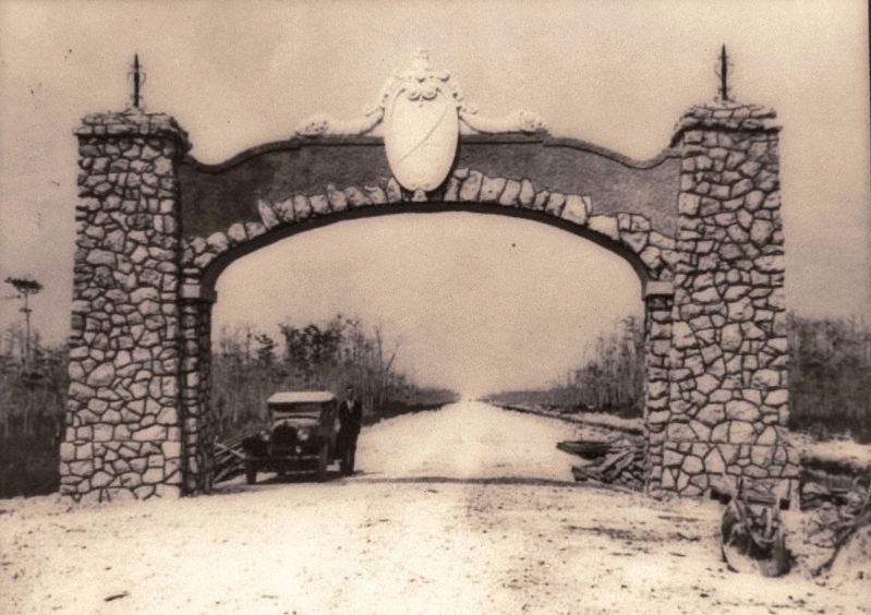
State Archives of Florida
Marker detail: Stone archway on the Tamiami Trail marking the boundary of Dade and Collier counties
SHOWN IN SOURCE-SPECIFIED ORDER
| On Shark Valley Loop Road south of Tamiami Trail (Southwest 8th Street) (U.S. 41), on the left when traveling south. |
| On Shark Valley Loop Road south of Tamiami Trail (Southwest 8th Street) (U.S. 41), on the left when traveling south. |
| On Shark Valley Loop Road south of Tamiami Trail (Southwest 8th Street) (U.S. 41), on the left when traveling south. |
Nov. 11, 2026
