Miami in Miami-Dade County, Florida — The American South (South Atlantic)
Restoring The Everglades
Photographed by Cosmos Mariner, January 8, 2015
1. Restoring The Everglades Marker
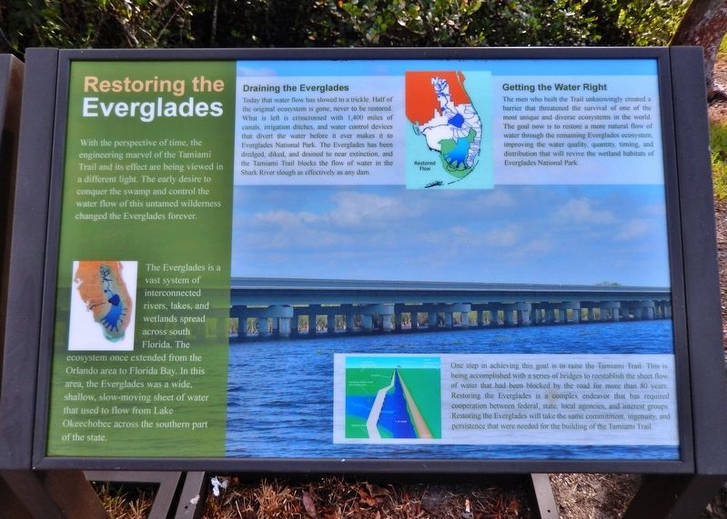
With the perspective of time, the engineering marvel of the Tamiami Trail and its effect are being viewed in a different light. The early desire to conquer the swamp and control the water flow of this untamed wilderness changed the Everglades forever.
The Everglades is a vast system of interconnected rivers, lakes, and wetlands spread across south Florida. The ecosystem once extended from the Orlando area to Florida Bay. In this area, the Everglades was a wide, shallow, slow-moving sheet of water that used to flow from Lake Okeechobee across the southern part of the state.
Draining the Everglades
Today that water flow has slowed to a trickle. Half of the original ecosystem is gone, never to be restored. What is left is crisscrossed with 1,400 miles of canals, irrigation ditches, and water control devices that divert the water before it ever makes it to Everglades National Park. The Everglades has been dredged, diked, and drained to near extinction, and the Tamiami Trail blocks the flow of water in the Shark River slough as effectively as any dam.
Getting the Water Right
The men who built the Trail unknowingly created a
this page online
One step in achieving this goal is to raise the Tamiami Trail. This is being accomplished with a series of bridges to reestablish the sheet flow of water that had been blocked by the road for more than 80 years. Restoring the Everglades is a complex endeavor that has required cooperation between federal, state, local agencies, and interest groups. Restoring the Everglades will take the same commitment, ingenuity, and persistence that were needed for the building of the Tamiami Trail.
Topics. This historical marker is listed in these topic lists: Environment • Roads & Vehicles • Waterways & Vessels.
Location. 25° 45.65′ N, 80° 45.979′ W. Marker is in Miami, Florida, in Miami-Dade County. It is on Shark Valley Loop Road south of Tamiami Trail (Southwest
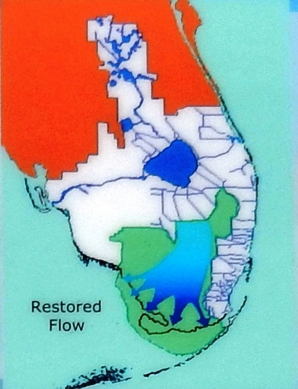
2. Marker detail: Restored flow

Regionally, this marker is in South Florida and on the Gold Coast. It is also in the American South and on the Eastern Seaboard. Globally, it is in the North Atlantic Region, North America, a Gulf of Mexico state, the Western Hemisphere, the Western World, and the Anglosphere. Historically, it finds itself in what was once New Spain, the territory of the Mississippian Culture, one of the Confederate States of America, and the Antebellum South.
Other nearby markers. At least 4 other markers are within 9 miles of this marker, measured as the crow flies: Life Along the Tamiami (here, next to this marker); Crossing the Everglades (here, next to this marker); The River of Grass (approx. 0.4 miles away); People Live Here / Aquívive gente (approx. 8.7 miles away).
Related markers. Click here
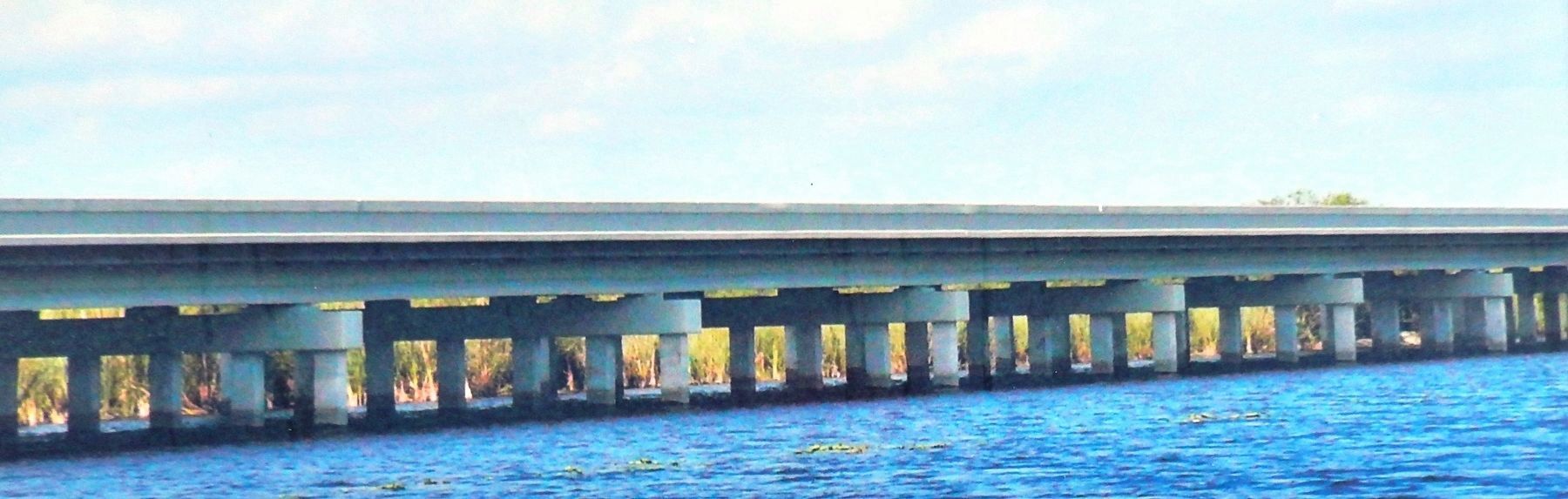
3. Restoring The Everglades Marker (background image: new Tamiami Trail bridge span)
Also see . . .
1. Tamiami Trail Modifications. National Park Service entry
The Tamiami Trail has long been recognized as one of the primary barriers to flow of water through the ecosystem. The need to eliminate barriers to overland flow of water in the Everglades is now considered one of the indisputable tenets of restoration. Science informs us that it is not sufficient to simply provide a particular volume of water to these wetlands to attain restoration. Flows must mimic the natural water depths and flooding durations, be distributed across this landscape in a manner that best approximates historical flow patterns, and travel at sufficient velocities. Analyses conducted by the National Park Service and the U.S. Army Corps of Engineers evaluated the alternatives and affirmed that four spans of bridging totaling 5.5 miles and road raising, provides the greatest environmental benefits. (Submitted on April 14, 2019, by Cosmos Mariner of Cape Canaveral, Florida.)
2. Restoration of the Everglades. Wikipedia entry
The restoration
Photographed by Cosmos Mariner, January 8, 2015
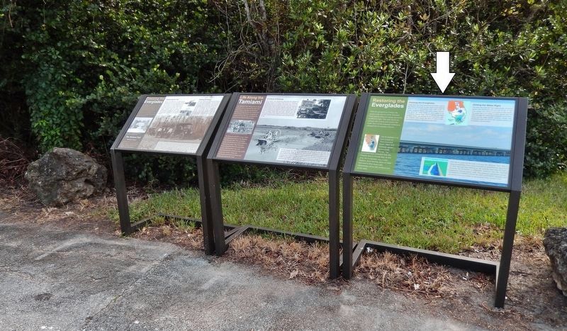
4. Restoring The Everglades Marker (wide view; rightmost of three markers at this location)
Credits. This page was last revised on May 1, 2021. It was originally submitted on April 14, 2019, by Cosmos Mariner of Cape Canaveral, Florida. This page has been viewed 429 times since then and 31 times this year. Photos: 1, 2, 3, 4. submitted on April 14, 2019, by Cosmos Mariner of Cape Canaveral, Florida.
