3 entries match your criteria.
Related Historical Markers
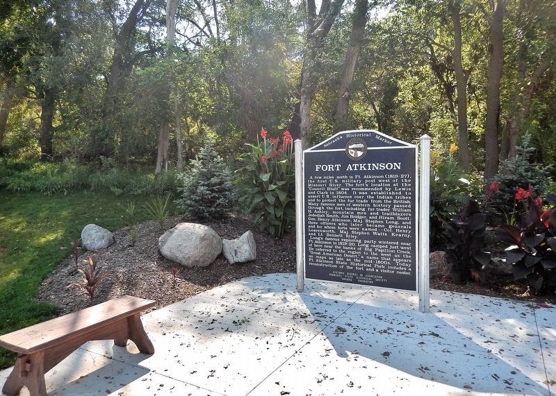
By Cosmos Mariner, September 16, 2025
Fort Atkinson Marker
SHOWN IN SOURCE-SPECIFIED ORDER
1 ► Nebraska, Douglas County, Omaha — 335 — Fort Atkinson —  |
| Near Bennington Road (State Highway 36) 0.4 miles east of North 96th Street, on the right when traveling east. | |||
| 2 ► Nebraska, Washington County, Fort Calhoun — 67 — Fort Atkinson — |
| Near Madison St 0.8 miles east of U.S. 75. | |||
| 3 ► Nebraska, Washington County, Fort Calhoun — 2 — Fort Atkinson — |
| On U.S. 75 at Monroe Street, on the left when traveling north on U.S. 75. | |||