4 entries match your criteria.
Related Historical Markers
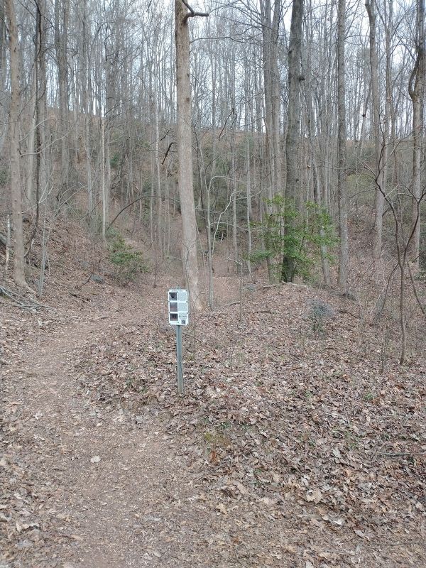
By Tom Bosse, January 3, 2026
SW Middle Tunnel Marker
SHOWN IN SOURCE-SPECIFIED ORDER
| Near Stumphouse Tunnel Road 0.4 miles east of South Carolina Route 28, on the right when traveling north. |
| Near Stumphouse Tunnel Road 0.4 miles east of South Carolina Route 28, on the right when traveling north. |
| Near Stumphouse Tunnel Road 0.4 miles east of South Carolina Route 28, on the right when traveling north. |
| Near Stumphouse Tunnel Road 0.4 miles east of South Carolina Route 28, on the right when traveling north. |
Oct. 19, 2026
