THE HISTORICAL
MARKER DATABASE
“Bite-Size Bits of Local, National, and Global History”


5 entries match your criteria.  


Related Historical Markers

To better understand the relationship, study each marker in the order shown.
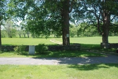
 
By Roger W. Sinnott, May 30, 2010
Wider View
SHOWN IN SOURCE-SPECIFIED ORDER
1 ► Massachusetts, Worcester County, Lancaster, South Lancaster — Site of Mary Rowlandson’s Capture —
On Main Street (Massachusetts Route 70) north of Bigelow Gardens, on the left when traveling north.
2 ► Massachusetts, Worcester County, Lancaster, South Lancaster — Rowlandson Rock — 1630 - 1930 —
On Main Street (Massachusetts Route 70) at Sterling Road, on the right when traveling south on Main Street.
3 ► Massachusetts, Worcester County, New Braintree — Sarah P. Rowlandson — Shot by Indians at Lancaster; Taken to Winnimissett —
On Hardwick Road at Ravine Road, on the left when traveling east on Hardwick Road.
4 ► Massachusetts, Worcester County, Princeton — Redemption Rock — 1630 - 1930 —
On Worcester Road (Massachusetts Route 140), on the left when traveling west.
5 ► Massachusetts, Worcester County, Princeton — Site of Mary Rowlandson’s Release —
Near Midstate Trail south of Redemption Rock Trail North ( Route 140), on the left when traveling south.


CeraNet Cloud Computing sponsors the Historical Marker Database.
This website earns income from purchases you make after using our links to Amazon.com. We appreciate your support.
Paid Advertisement
Nov. 11, 2026
