4 entries match your criteria.
Related Historical Markers
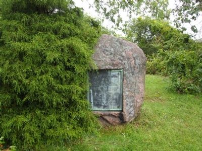
By Bryan Simmons, 2011
Myles Garrison House Site Marker
SHOWN IN SOURCE-SPECIFIED ORDER
1 ► Massachusetts, Bristol County, Swansea — Myles Garrison House Site —  |
| On Old Providence Road at Barneyville Road, on the left when traveling east on Old Providence Road. | |||
| 2 ► Massachusetts, Bristol County, Swansea, Gardner's Neck — HA-16;902 — Bourne Garrison King Philip's War — |
| On Gardners Neck Road at Milne Avenue, on the left when traveling south on Gardners Neck Road. | |||
| 3 ► Rhode Island, Bristol County, Bristol — Mount Hope — Sacred Land of the Pokanokets — A Sowams Heritage Area Site — |
| Near Metacom Avenue (Rhode Island Route 136) 0.1 miles south of Mount Hope Avenue, on the right when traveling north. | |||
| 4 ► Massachusetts, Bristol County, Dighton — Dighton Council Oak — Meeting Place of the Wampanoag Indians — |
| Near 1996 Elm Street. | |||